In this guide
- 01What Does “Aso On The Ground” Mean In Summer?
- 02The Caldera: Scale First, Then Detail
- 03Kusasenri-Ga-Hama In Summer: A Plain With Its Own Tempo
- 04Daikanbo Viewpoint: The Rim-Top Perspective
- 05The Rim Roads: Milk Road, Yamanami Highway, And Realistic Driving
- 06Can You Visit The Nakadake Crater In Summer If The Alert Level Changes?
- 07Plan A / Plan B / Plan C: A Summer Aso Day That Doesn’t Collapse
- 08Aso Shrine And The Summer Calendar: Culture Without The Crowds
- 09Getting To Aso In Summer: Practical Access Without Overpromising
- 10Let Us Plan Your Aso Day
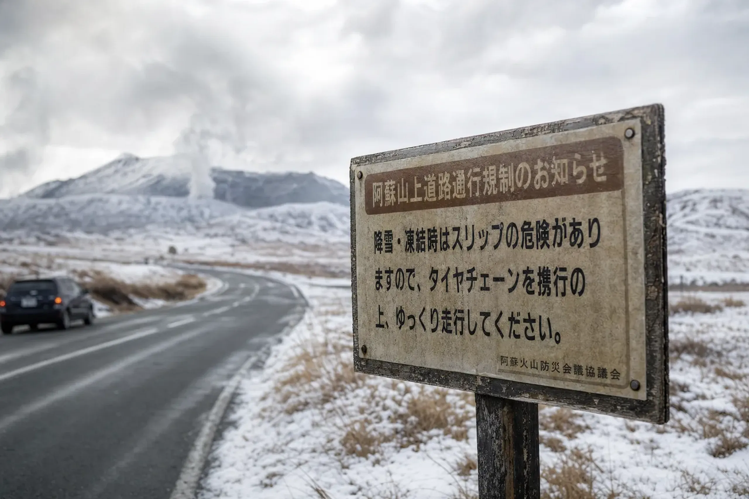
Status (last checked: JMA bulletin dated 9 Oct 2026, No. 27). Mount Aso remained at Alert Level 2, which restricts entry within about 1 km of the Nakadake No. 1 crater. Aso City has stated that at Level 2, crater viewing and entry to Sunasenri-ga-hama (the sand plain near the crater) are not permitted.
Key fact: Aso is a grassland on top of an active volcano, and the alert level and gas notices decide your day. Plan around what is open, not around what you hope is open.
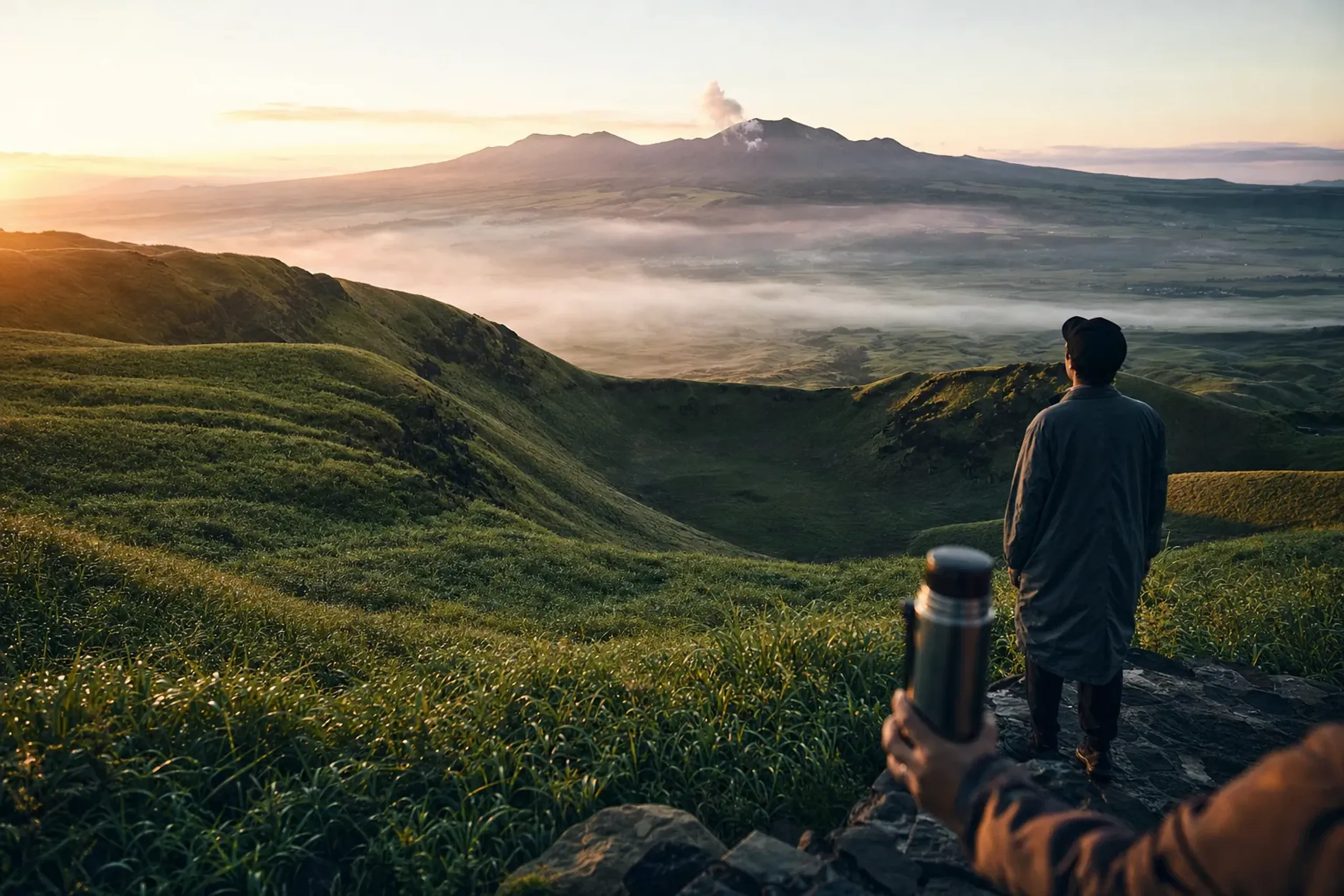
In summer, Aso can feel like a quiet, wide-backed animal at rest. The road rises, the air thins a touch, and then—suddenly—there is grassland, horses grazing in loose formation, and a plume in the distance reminding you the mountain is under watch. This is not a theme-park volcano. It is a working landscape, inhabited and alive, and that is precisely what makes it worth the restraint it demands.
Our team at Japan Royal Service plans Aso “on the ground” with one rule first: the second half of the sentence matters. Active. Some days you stand at Kusasenri-ga-hama and feel you have seen the whole caldera in a single sweep of the eye. Other days the crater area is closed—and that is the correct decision, not a disappointment. No drama. Just the quiet discipline of reading the mountain honestly, which is a form of luxury all its own.
This guide focuses on what holds up in summer: the open plain at Kusasenri-ga-hama, the rim-top perspective from Daikanbo, and the rim roads that stitch them together. Along the way, we’ll explain what the restriction levels mean in plain English, what gas notices can change in an afternoon, and how to build a day that still feels deliberate and composed—whatever the mountain decides.
What Does “Aso On The Ground” Mean In Summer?
“Aso on the ground” means prioritizing the caldera’s grasslands and rim viewpoints while treating crater access as optional, because official alert levels and gas rules can close the summit area without notice.
Discerning travelers often arrive with a single image fixed in mind: the crater. It’s understandable. It photographs well, and it reads like a once-in-a-lifetime checkbox waiting to be ticked.
But Aso is larger, stranger, and more human than that single frame suggests. Residents live on the caldera floor, and Aso City has cited a population of about 40,000. Farms, schools, roads, and daily errands exist inside what your brain stubbornly labels “volcano.” That contrast—ordinary life carried on within an extraordinary landscape—is the point, and the pleasure.
So our approach is to make the day work even when the crater does not. The reward comes from scale, not from a summit stamp. A slow walk across the plain. A rim-top stop with nothing to sell you but wind and distance. This restraint—the wabi-sabi of letting an understated landscape speak for itself—is exactly what rewards the traveler who no longer needs the obvious to feel moved.
The Caldera: Scale First, Then Detail
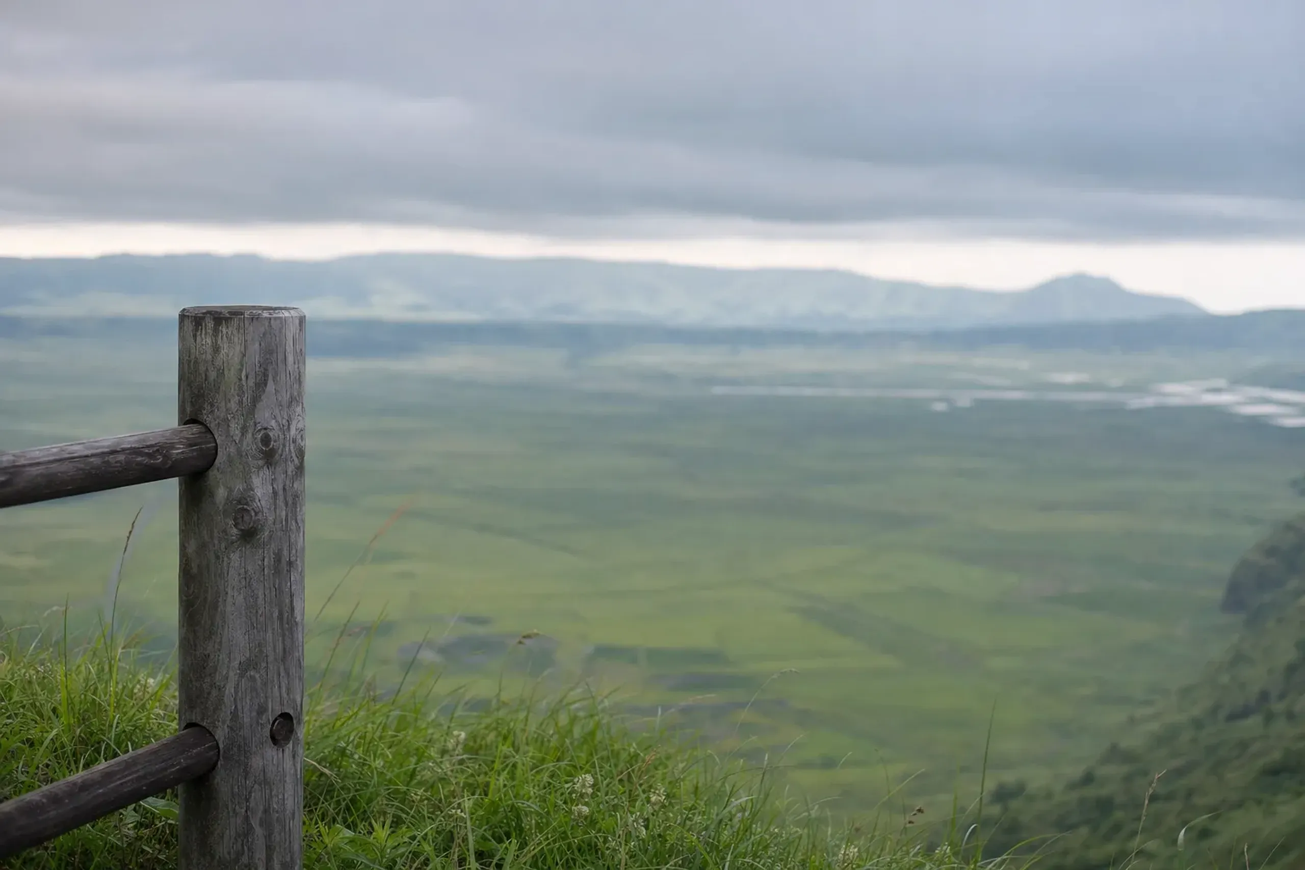
Aso’s caldera is not a neat bowl. It’s a lived-in basin with an outer rim you can drive, where the view changes every few minutes: fields, sudden drops, and long slopes that fold toward the center like a landscape still breathing.
Official sources describe the caldera as roughly 25 km north to south and 18 km east to west—big enough that “just popping over” to a viewpoint can quietly become your whole afternoon.
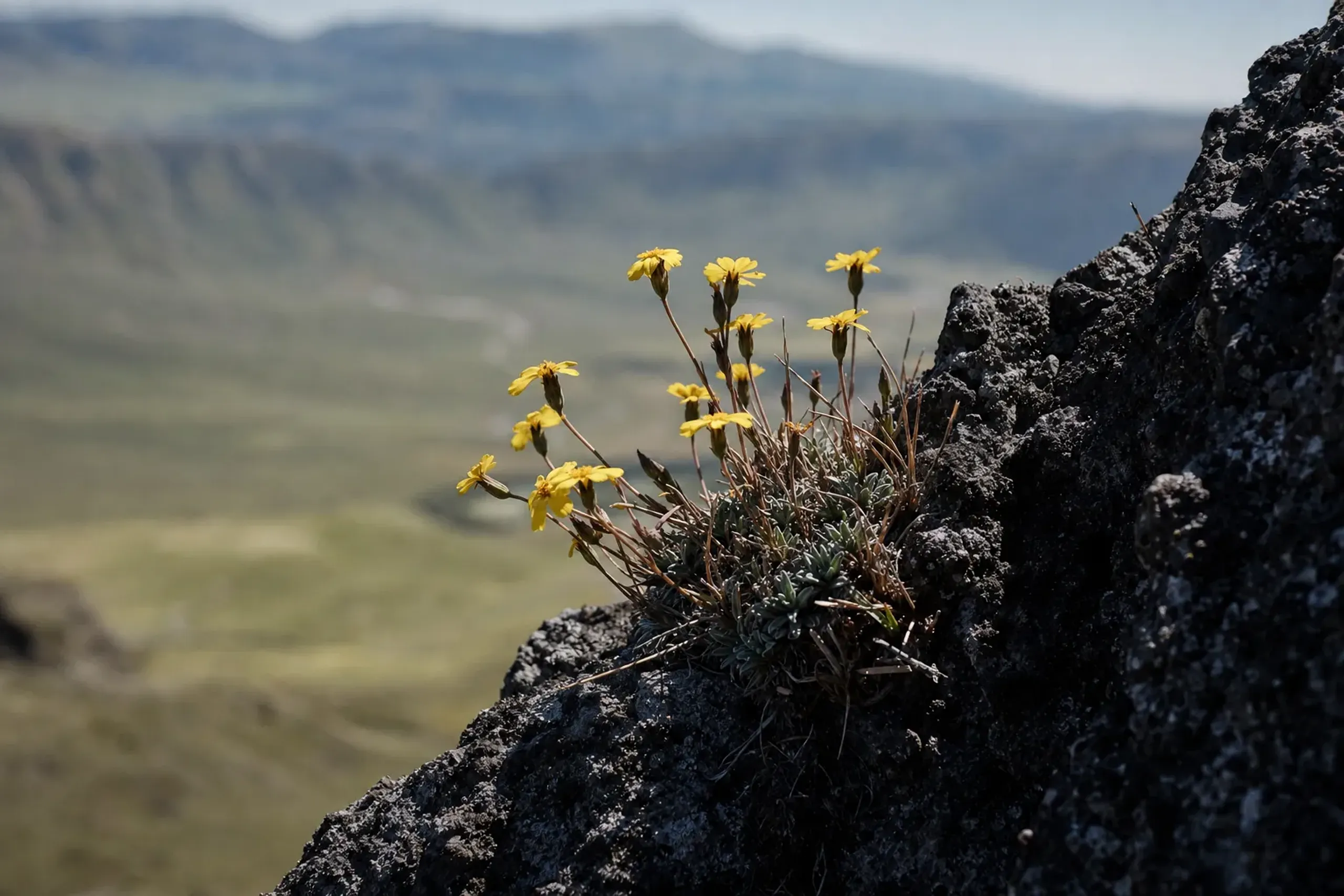
That generosity of scale is a gift, not a logistical problem, provided you let it set the pace.
From many angles you can pick out the Aso Gogaku—Takadake, Nekodake, Nakadake, Eboshidake, and Kijimadake—lined across the basin like a family of mountains. Only one is the active focus: Nakadake. Remember that name. It is the one that appears on every restriction notice.
Kusasenri-Ga-Hama In Summer: A Plain With Its Own Tempo
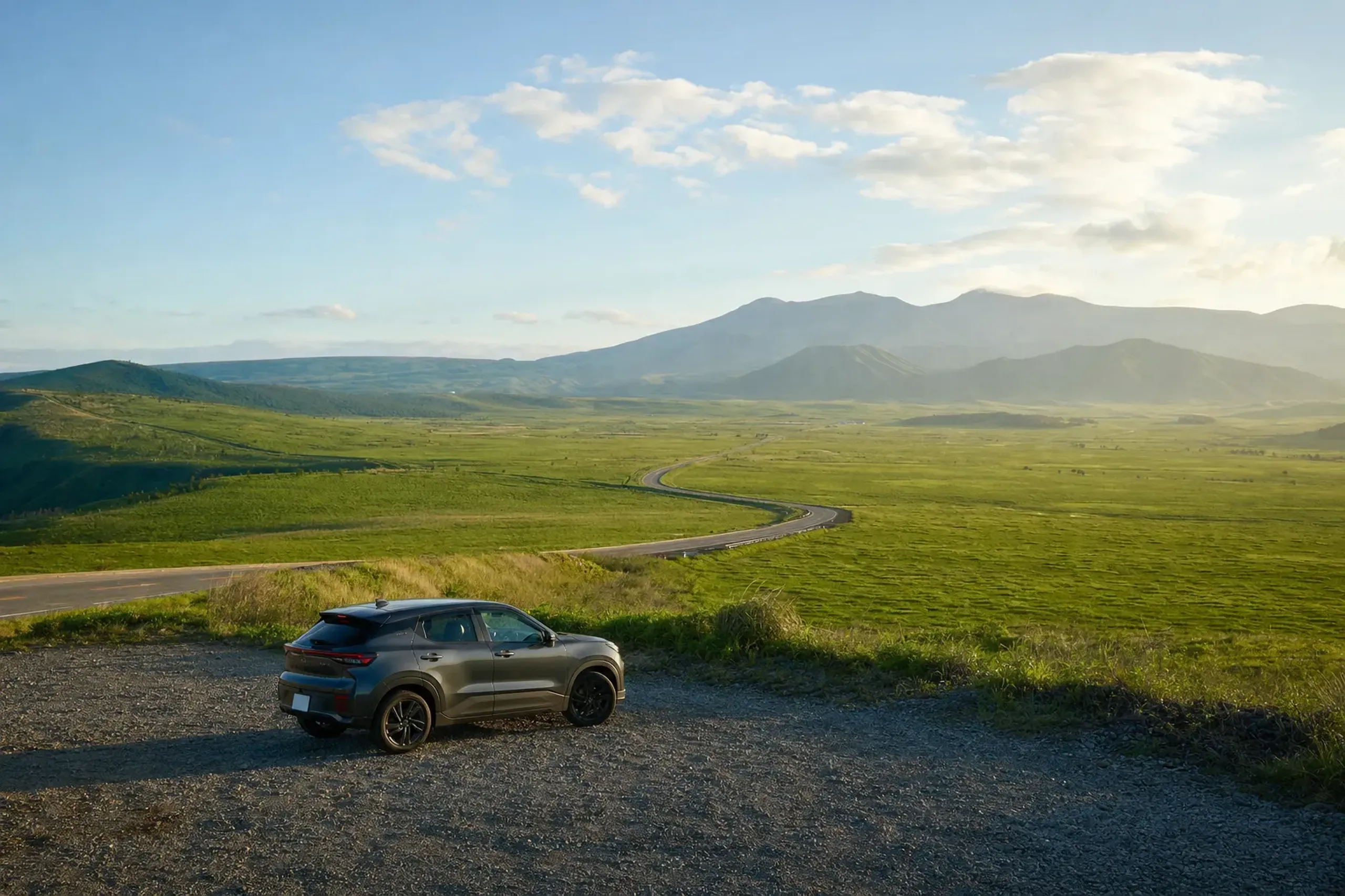
Kusasenri-ga-hama is the Aso moment that rarely disappoints. The plain is about 1 km across, with a central hill (roughly 50 m) and ponds to the east and west that can sometimes dry in the summer heat. The scene changes with weather, not with crowds—which is to say it answers to the sky, and to nothing else.
Horses graze freely here. This is not a petting experience. Aso City explicitly bans touching or feeding them, and that is worth respecting without negotiation. Step wide, keep your voice low, and let the animals decide the distance. The grace of the plain lies in observing it quietly, not in intruding upon it.
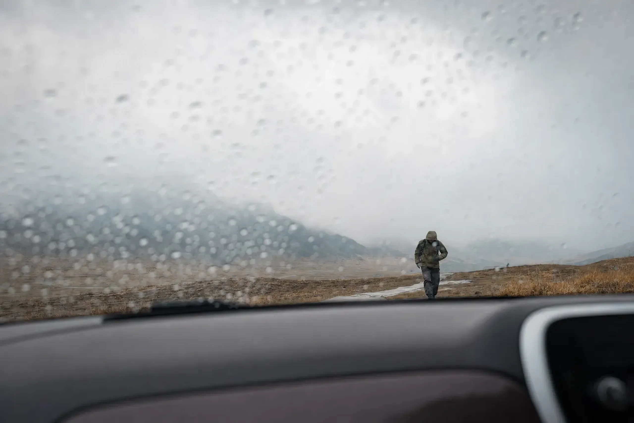
In summer, afternoon fog and sudden showers are part of the deal. Bring a light layer anyway—a small thing that makes a big difference. The rim can turn sharp and cool the moment the clouds pull in, and comfort should never be the thing that shortens a fine day.
A Simple Kusasenri Walk That Feels Complete
If you want a low-friction plan that still feels intentional, do this:
- Park and pause for two minutes before walking. Let your eyes adjust to the scale.
- Walk the edge of the plain rather than beelining for the center. The sightlines stay broader and the horizon fuller.
- Use the central hill as a marker, not a mission. If weather is moving in, turn early and without regret.
- End at the museum and visitor facilities when you want context, shade, and live information.
Aso Volcano Museum: Make The Volcano Legible
The Aso Volcano Museum sits right at Kusasenri. According to the museum’s official information and the JNTO listing, it offers crater views, live camera feeds, and exhibits and films about eruptions and local life. It’s a graceful pivot when visibility outside grows thin.
Hours published by the museum are 9:00 to 17:00 (last entry 16:30), and it closes for maintenance on 14 January and 14 July. Check close to your visit—schedules can shift.
We like the museum for one reason: it turns “active volcano” from a mood into information. You don’t need to be a geology enthusiast. You simply need the day to make sense, and the museum quietly does that work for you.
Daikanbo Viewpoint: The Rim-Top Perspective
Daikanbo is a north-rim viewpoint reached by road, with a short walk (about 10 minutes) from the car park to a panoramic look across the caldera toward the Aso Five Peaks.
Daikanbo is where people go quiet. Even talkative travelers tend to stop mid-sentence when the caldera opens up and the five peaks sit in a line across the basin. There is a stillness here that no itinerary can promise but every good itinerary should make room for.
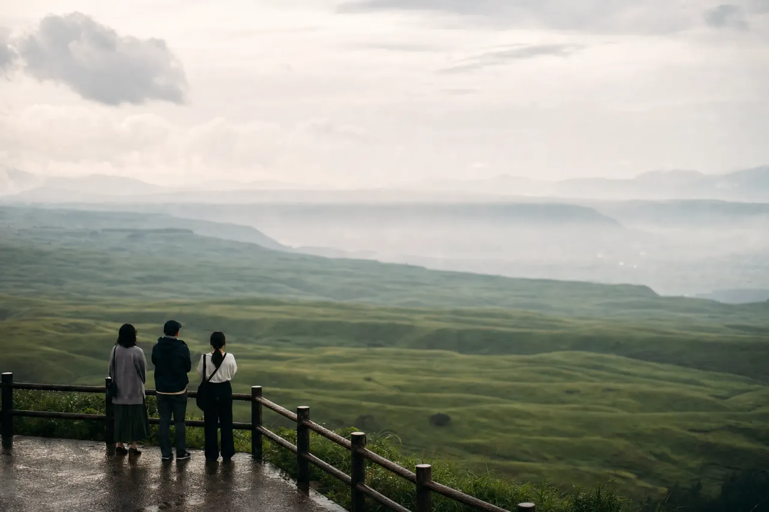
The Ministry of the Environment describes the approach simply: a car park, then a walk of about ten minutes to the viewpoint. In summer and autumn, this is one of the easiest “big views” in Kyushu for a mixed-ability group—accessible without ever feeling diminished.
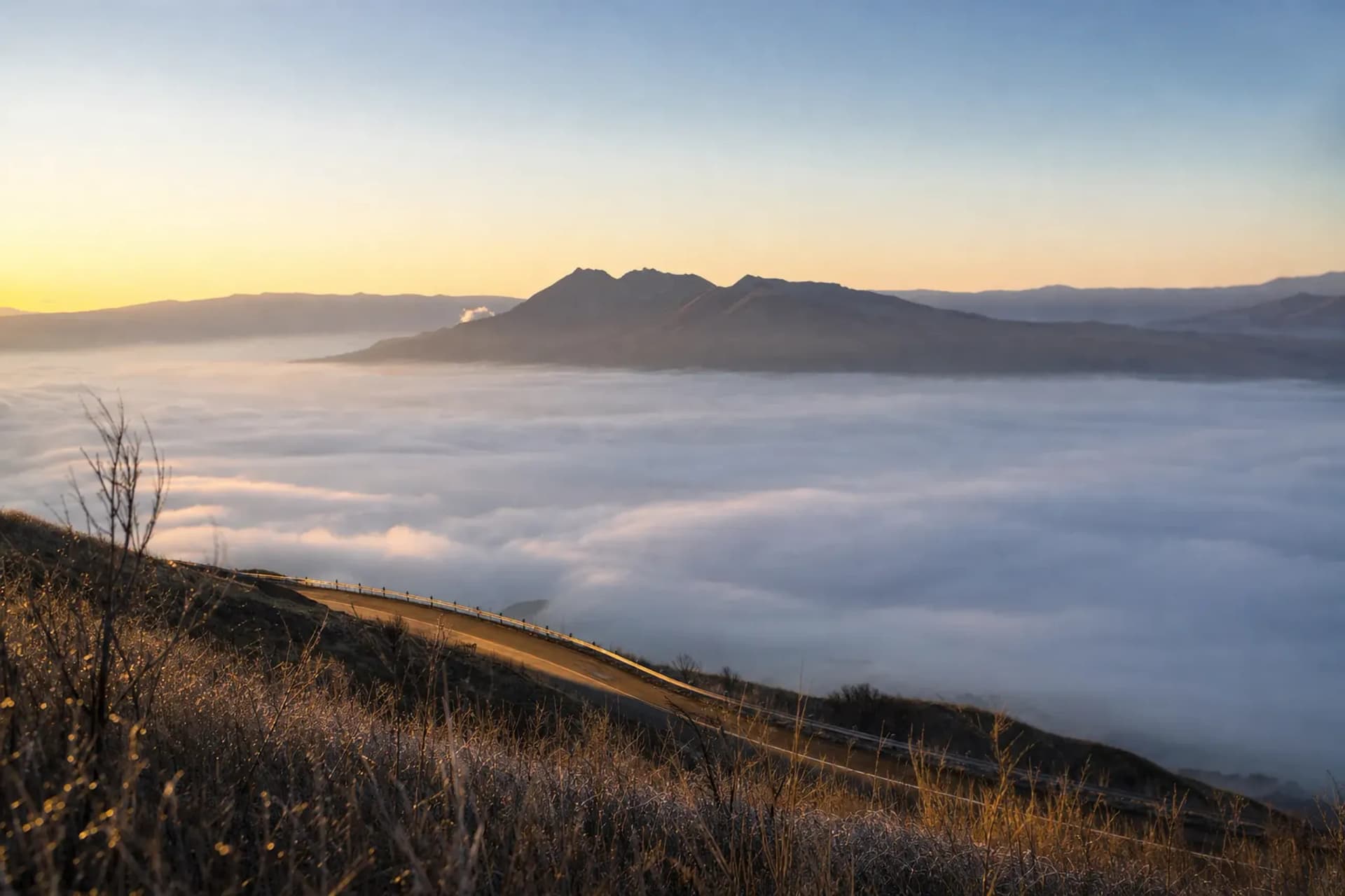
You may hear about unkai (a “sea of clouds”). It can appear in the cooler seasons, but there is no honest way to promise it. If you are granted it, enjoy the luck. If you are not, the view still lands with full force.
The Rim Roads: Milk Road, Yamanami Highway, And Realistic Driving
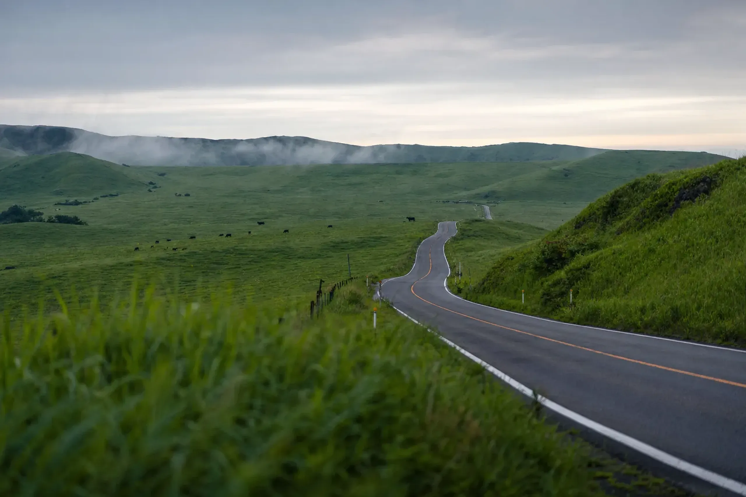
In Aso, the road is not merely transport. It is part of the day’s design. The north rim gives you long glances down into the caldera, and in summer the grass reads almost luminous when the sun breaks through a passing cloud.
The Milk Road is the name commonly used for the route along the north rim (often associated with Prefectural Route 45 in secondary sources). The Yamanami Highway is another scenic name you’ll hear for routes connecting Aso and the Kuju area (often associated with Prefectural Route 11 in secondary sources). Treat these as scenic corridors to be savored, not a single “must-do” strip of asphalt to be conquered.
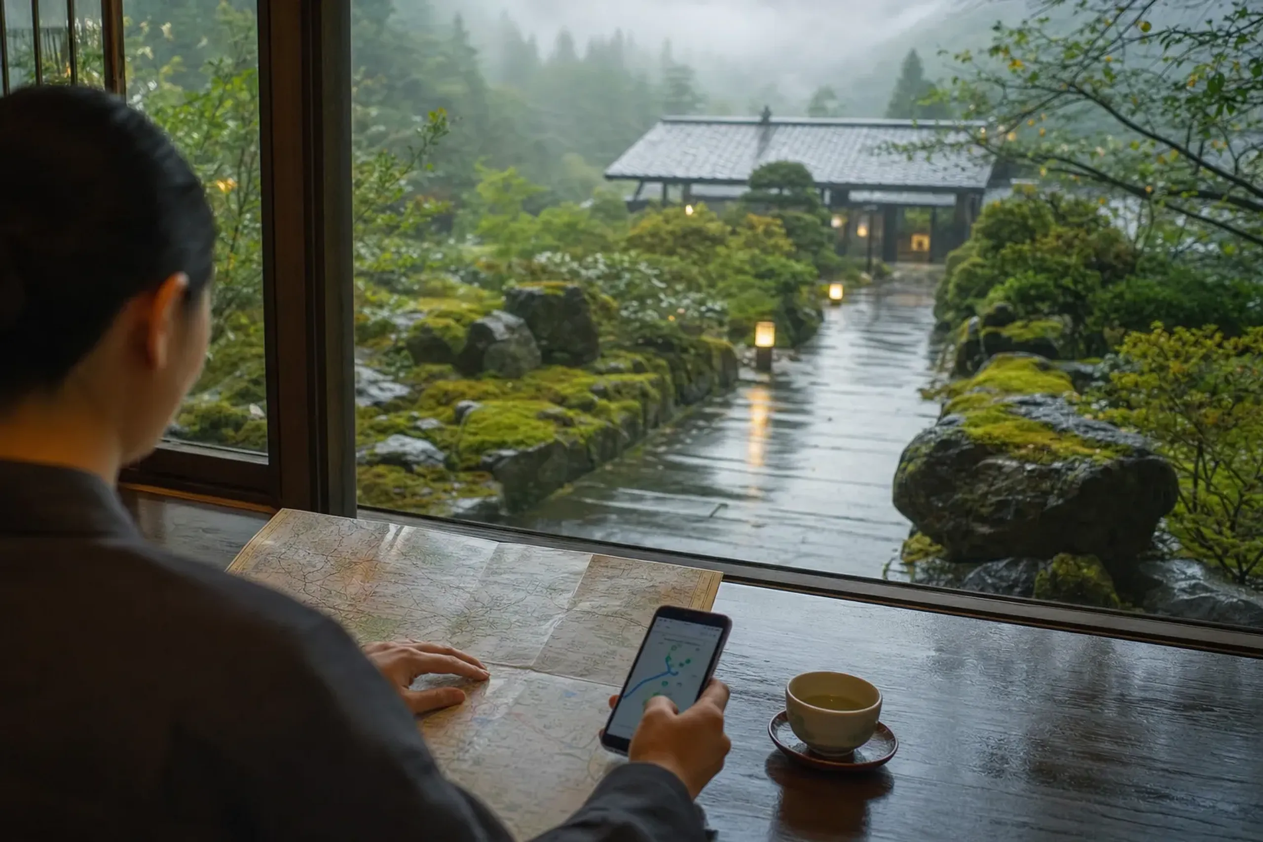
Because road status can change, our concierge team checks the day’s conditions ahead of your visit—especially when weather or volcano notices suggest last-minute rerouting. This is where a private car day with a dedicated chauffeur becomes less about indulgence and more about control: the quiet confidence of never being caught out by a closed road or a shifting sky.
Three Road-Trip Habits That Improve The Day
- Start earlier than you think. The rim looks calmer and clearer before afternoon haze builds.
- Stop more often. Aso’s best moments are ninety seconds long: a bend, a drop, a patchwork of fields caught in sudden light.
- Keep a Plan B. If visibility collapses, you pivot gracefully to the museum and a slower Kusasenri walk.
Can You Visit The Nakadake Crater In Summer If The Alert Level Changes?
You can only approach the Nakadake crater when official restrictions allow it; at Alert Level 2, entry within about 1 km is restricted and Aso City has said crater viewing and Sunasenri-ga-hama are not permitted.
This is where many guides get sloppy. They describe the crater like an attraction with opening hours. It is nothing of the sort.
Japan Meteorological Agency (JMA) alert levels can change, and they are not merely labels. In 2026, JMA raised Aso from Level 1 to Level 2 on 21 June, raised it again to Level 3 on 14 August, lowered it to Level 2 on 1 September, and at the 9 October bulletin Level 2 continued with a 1 km radius. The bulletin referenced high sulfur dioxide and ground swelling since about May that stalled around August, and stated that an eruption affecting the 1 km area could occur.
Level 2 is often summarized as “do not approach the crater area.” Level 3 widens that idea considerably. The exact boundary matters because it can close—or open—access points you had assumed were routine.
Key fact: Alert levels are separate from volcanic gas restrictions. Even when a road is open, gas notices can limit who should go, and where.
Volcanic Gas: The Rule Many Travelers Miss
Aso City asks people with asthma, bronchial or heart conditions, or anyone feeling unwell, not to visit because of volcanic gas.
That is a direct, practical instruction—not a gentle suggestion.
Gas also affects comfort even for healthy travelers. Eyes sting. Throats tighten. If the wind shifts, you can feel it within minutes. Respect that sensation. Turn back early, without hesitation.
Where To Check Restrictions (And Why We Double-Check)
The Aso Volcano Disaster Prevention Council posts live restriction notices on the official site (aso-volcano.jp). In our experience, travelers benefit from one extra step: confirming details when pages conflict. The park road status can be described differently across sources, so our concierge team confirms directly by phone with Aso City before a visit whenever needed.
Quiet diligence done on your behalf, long before you arrive. That is the real luxury here—the kind that anticipates rather than reacts.
Plan A / Plan B / Plan C: A Summer Aso Day That Doesn’t Collapse
Aso rewards a scenario mindset. We build a day that feels finished and whole under three different conditions: clear skies, low visibility, and crater-area closures. No single outcome should be able to unravel it.
Plan A: Clear Visibility, Rim And Plain
Go for the big shapes. Don’t rush a single one.
- Morning drive along the rim roads toward Daikanbo
- Short walk to the viewpoint, then a slow, unhurried return
- Midday at Kusasenri-ga-hama for a full loop walk
- Late-afternoon museum visit if you want context and live cameras
Plan B: Fog And Thunder, Keep It Close
When the weather turns, shorten distances and reduce exposed time.
- Kusasenri walk first, while the window is open
- Aso Volcano Museum for live feeds and exhibits during the worst of the visibility
- A single rim stop, and only if the road view is clean
Plan C: Crater Area Restricted, Make The Day About Landscape
This is the plan many clients quietly end up preferring. A pleasant surprise, every time.
- Commit to Kusasenri as the anchor experience
- Drive the rim for perspective, not for access
- Use the museum and visitor information to understand what is restricted, and why
Aso Shrine And The Summer Calendar: Culture Without The Crowds
Aso’s wide landscapes can make culture feel far away. It isn’t. Aso Shrine sits as a counterweight to all that open sky—wood, shade, and a different measure of time altogether.
Aso Shrine’s worship hall was rebuilt in July 2021. Restoration of the tower gate was completed in December 2023, and the shrine has stated that its recovery project ended on 17 February 2025. That matters, because many older guides still describe it as under reconstruction—a reminder that even dependable sources age.
If your dates align, Aso City’s 2026 event list included the Onda-matsuri at Aso Shrine (28 July) and the Hi-no-Yama Festival at Uchimaki Onsen (around 20 August), the latter known for its fireworks. Treat festival timing as specific to the posted calendar each year, and check close to travel.
For the discerning traveler, the appeal here is not spectacle. It is proportion. You can stand within the shade of a shrine, then be back on the rim road with grassland filling the windows—all within the same unhurried day.
That seamless movement between hidden culture and open landscape, arranged so that neither feels rushed, is the kind of orchestration that rewards a bespoke, tailor-made itinerary built around you and no one else.
Getting To Aso In Summer: Practical Access Without Overpromising
From Kumamoto Airport, buses can reach Aso Station in about 1 hour and the Aso summit terminal in about 1 hour 10 minutes, with travel times varying by traffic and conditions.
There are several ways to base an Aso day. Most discerning travelers we work with choose one of three: staying in Kumamoto City, staying near Minamiaso, or pairing Aso with an onsen stay elsewhere in Kyushu—where the day’s discoveries can settle into an evening of quiet, well-appointed rest.
For public transport, the airport bus commonly referenced as “Tokkyu Yamabiko” has published travel times (timetable effective 1 Aug 2026) of roughly an hour to Aso Station, and about 1 hour 10 minutes to the Aso summit terminal. Those are estimates. Weather and traffic, as ever, have opinions of their own.
Let Us Plan Your Aso Day
Aso rewards those who read it closely and move through it with discretion—knowing which day to drive the rim, which hour to walk the plain, and when the mountain simply asks to be admired from a distance. That judgment, refined over many seasons and held in complete confidence, is what we bring to every itinerary we arrange.
If you would like a private, carefully timed Aso experience woven into a wider journey through Kyushu—one that quietly anticipates the weather, the alert levels, and your own pace—contact us here and we will prepare a tailored proposal built entirely around you.