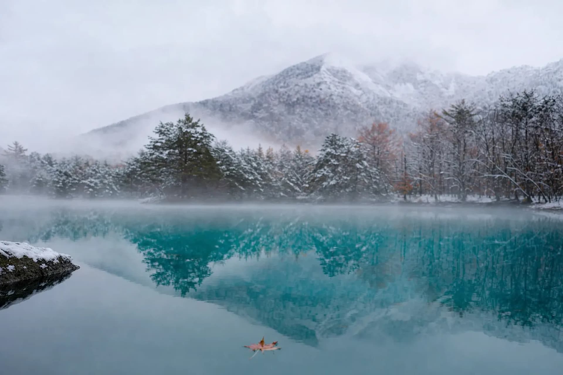
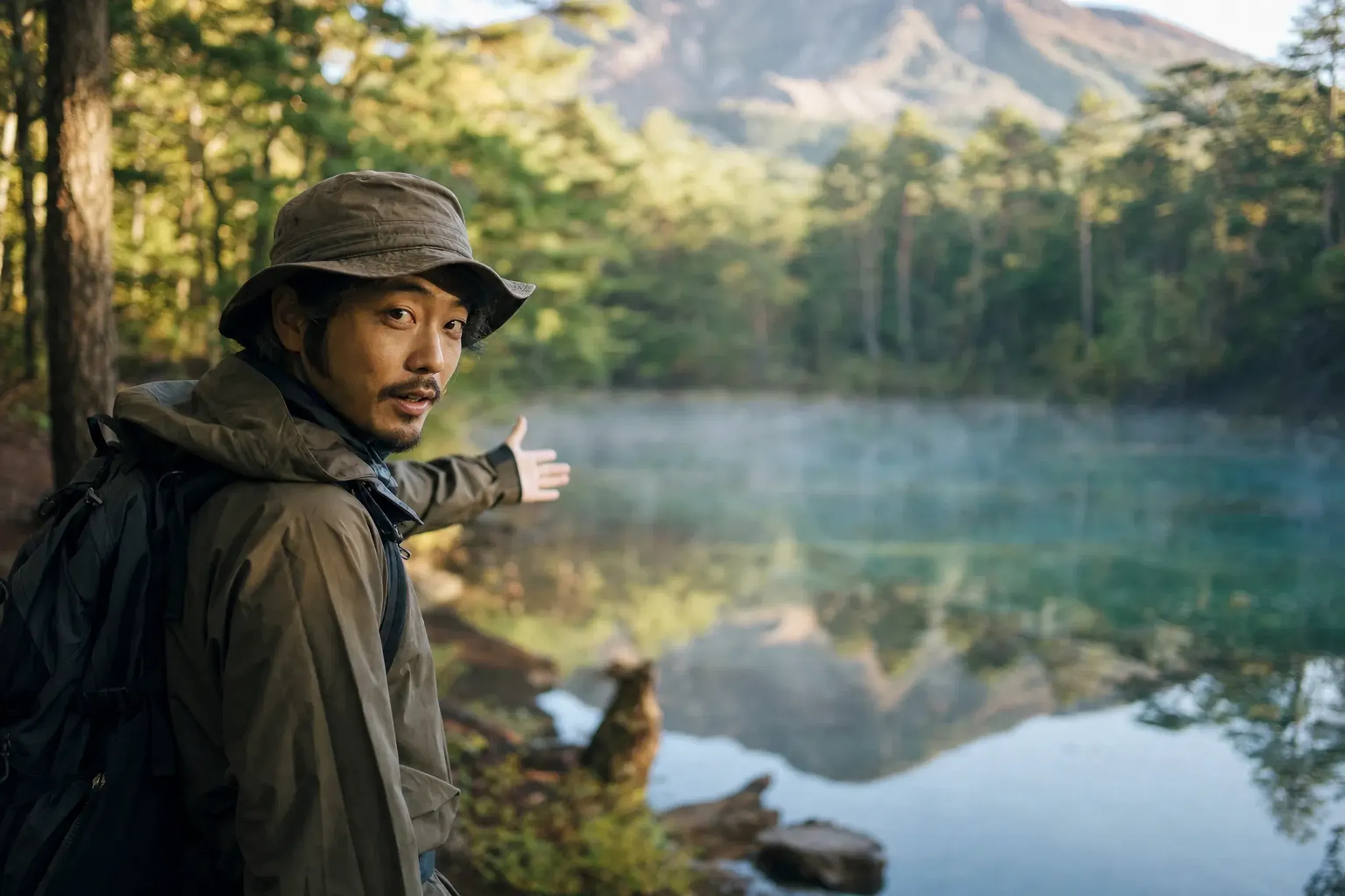
Stand at the edge of Bishamon-numa on a bright summer morning and the first thing you notice is the quiet. Water the color of jade, still enough to hold the whole of the sky. Rowboats wait at the shore, barely moving. Behind you, the slope climbs toward a mountain that, a little over a century ago, tore itself open and rearranged this entire landscape.
This is Goshikinuma, the "Five Colored Ponds" of Urabandai, in the highlands of Fukushima. The name is poetry, not arithmetic. There are far more than five ponds, and their colors refuse to stay fixed. Our team at Japan Royal Service has walked this trail in low morning light and in the flat glare of noon, and it is never twice the same water. There is a wabi quality to the place — an unforced, moss-and-stone silence that rewards those who slow down rather than those who arrive expecting spectacle.
The Morning of 15 July 1888
The ponds exist because of a disaster. On 15 July 1888, Mount Bandai erupted in a steam-driven blast. The north side of the summit, a peak then called Kobandai, collapsed in a debris avalanche that roared downslope, dammed the rivers below, and buried villages in its path.
The human cost was severe. Official records put the dead at about 460 to 480 people. It was one of the worst volcanic disasters in modern Japanese history, and it reshaped the terrain in a matter of minutes.
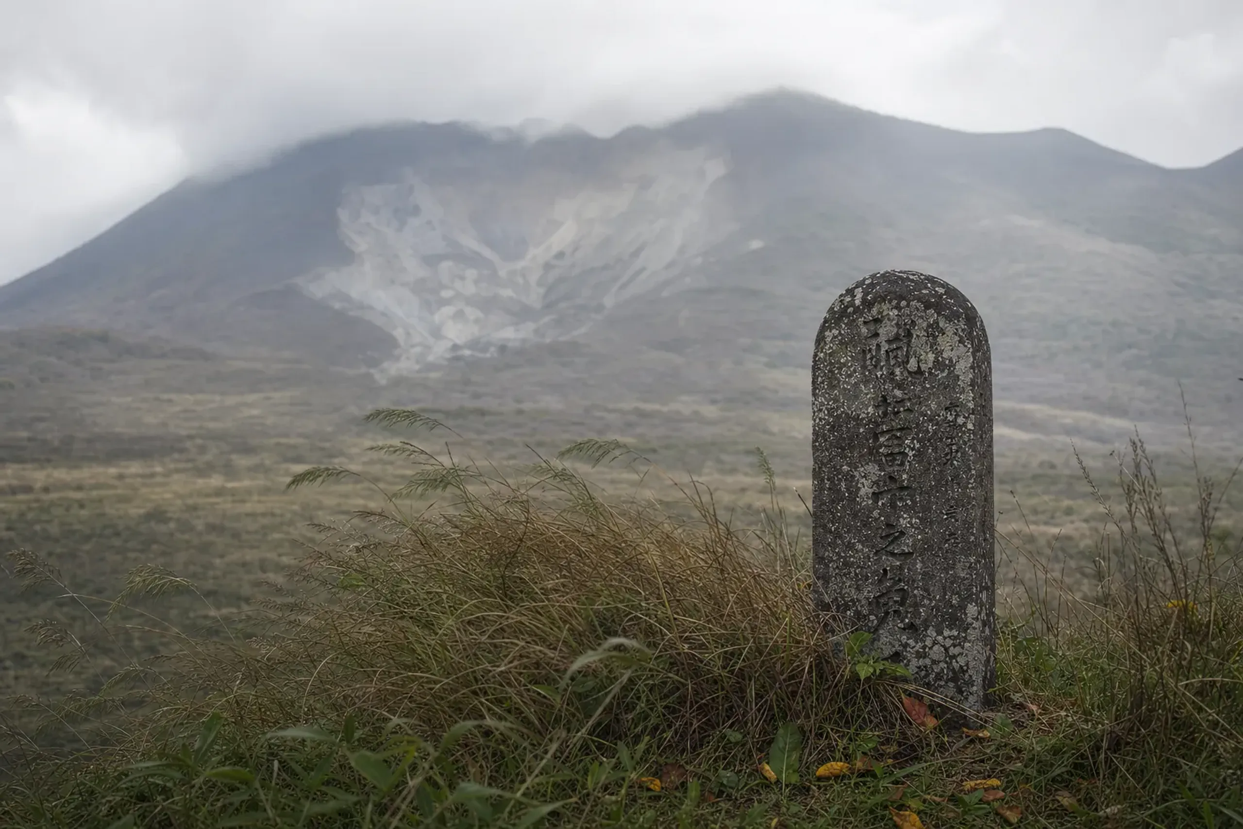
What the debris did next was strange and slow. Blocked rivers pooled. New lakes filled the hollows left by the slide. Lake Hibara, Onogawa and Akimoto formed from the larger dammed valleys; smaller depressions became Sohara-numa and the cluster of ponds we now call Goshikinuma. Sources differ on the final count of new water bodies, from "hundreds" to several hundred. The exact figure is less interesting than the fact itself: a violent hour produced a landscape that now reads as perfect calm. That tension — catastrophe resolved into stillness — is precisely the wabi-sabi sensibility that gives Urabandai its quiet gravity.
Why Are The Ponds Different Colors?
The colors come from fine particles suspended in the water and from minerals on the pond beds, and they shift with weather, season, and the angle of the sun. No single pond is simply "blue" or "green."
The Urabandai Visitor Center explains it in two parts. Light scatters off fine aluminium-silicate particles carried in the water, which lends many ponds their milky blue and turquoise cast. Separately, iron oxide on some pond bottoms pulls the shade toward red and rust. Layer in cloud, forest shadow, and the hour of day, and the same pond you photographed at eight o'clock looks like a different body of water by eleven.
Aonuma can glow an almost unreal cobalt. Akanuma leans reddish, true to its name, though be careful: this Akanuma on the trail is not the Akanuma crater pond up near the summit, which shares the name but nothing else.
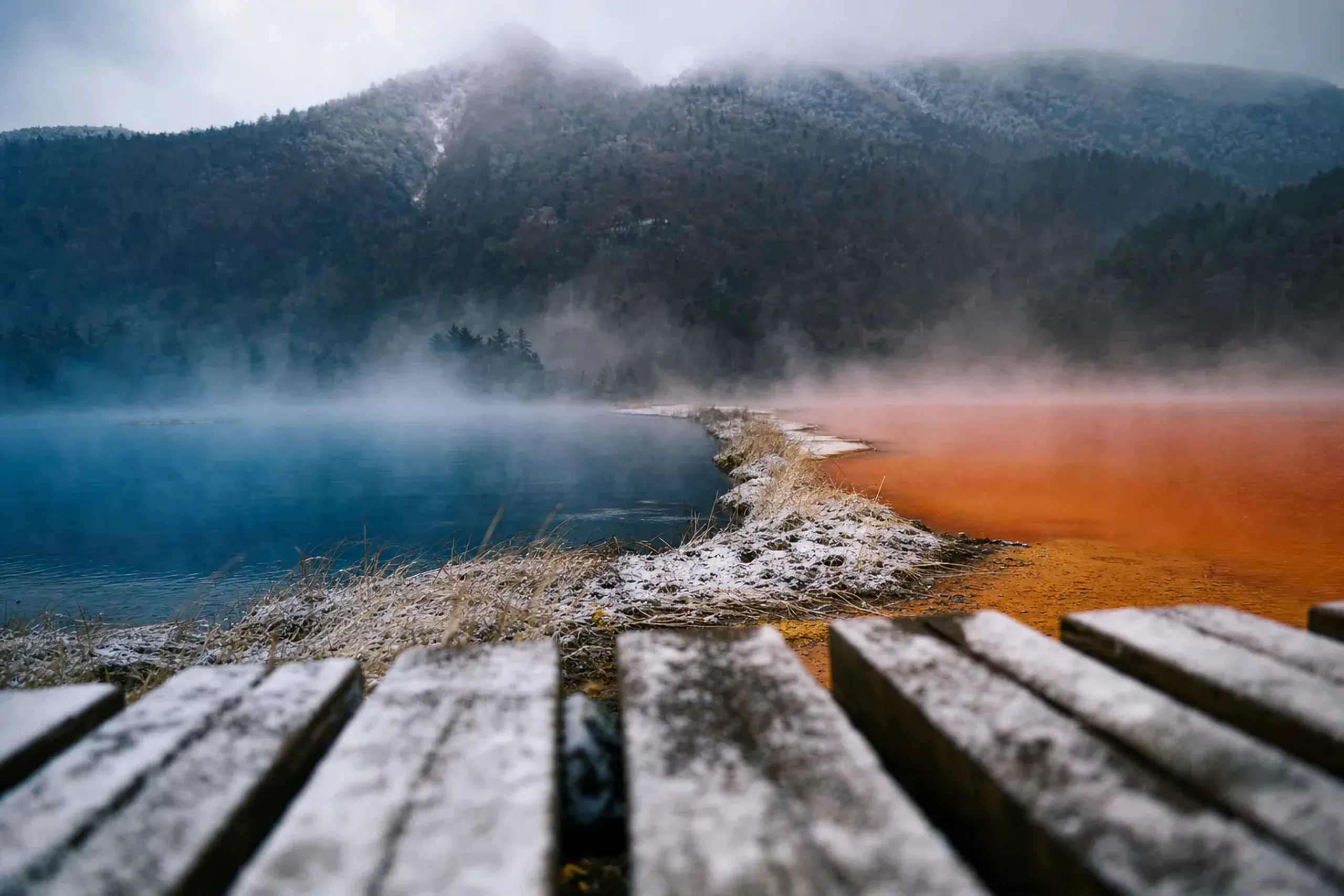
Ruri-numa carries a lapis tint. The honest way to see them is to slow down, stand still, and let the light do its work. A good guide will point out which pond repays patience — and in which month its color runs truest, a matter of seasonal timing that most visitors never think to ask about.
How Long Is The Goshikinuma Trail?
The main Goshikinuma Nature Trail runs about four kilometres one way and takes roughly one hour and ten minutes to one hour and thirty minutes at an unhurried pace. It is nearly level, with only about forty metres of elevation change.
Do not mistake "level" for "paved promenade." The surface is rocky, with roots and stretches that turn to mud after rain. Hard-soled shoes matter here more than most visitors expect. There are no vending machines and no toilets along the trail itself, so sort that out at either end before you set off.
Eight named ponds line the main route: Bishamon-numa, Akanuma, Midoro-numa, Ryū-numa, Benten-numa, Ruri-numa, Aonuma and Yanagi-numa. Bishamon-numa is the largest and the one most people meet first. Across the wider Goshikinuma area there are roughly twenty to thirty ponds and marshes in total.
Two Trailheads, One Decision
The trail has two ends. Goshikinuma Iriguchi sits on the east, beside the Urabandai Visitor Center.
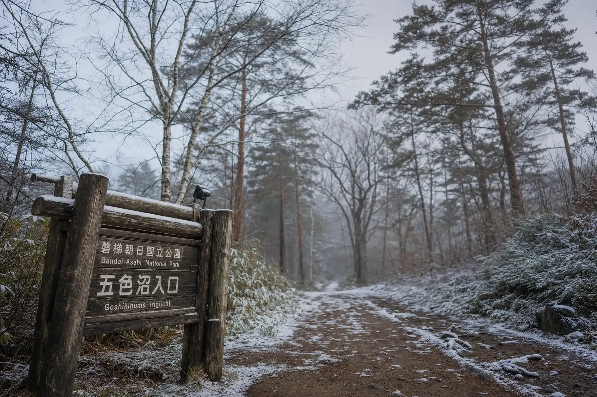
Urabandai Kogen anchors the west. You can walk it in either direction, but the choice shapes your morning.
Starting from the Visitor Center side lets you check trail conditions and bear notices before you commit a step. Starting from Urabandai Kogen puts the biggest, calmest ponds toward the end of the walk. Because the route is one-way, you'll want transport waiting at the far trailhead rather than doubling back. Our concierge team plans this point-to-point so the car is already at the exit when you arrive — the kind of unspoken logistics handled before you ever notice they were needed.
Key fact: Goshikinuma lies within a national park special protection zone. Do not collect plants, animals, rocks or soil, and stay on the marked trail. These rules are strict, and they are the reason the ponds still look the way they do.
Lake Hibara And The Volcano Museum
The ponds are the intimate scale of the 1888 story. Lake Hibara is the grand one. It is the largest lake in Urabandai, roughly 10.7 square kilometres, with depths around thirty metres, and it fills a valley the debris avalanche dammed shut.
A sightseeing boat run by Urabandai Lake Resort crosses the lake in about thirty-five minutes. The season typically runs from roughly late April into early November; in the 2026 season the resort listed the Lake Hibara boat from 29 April to 8 November. Opening dates vary year to year, so we confirm the current window before we build it into a day.
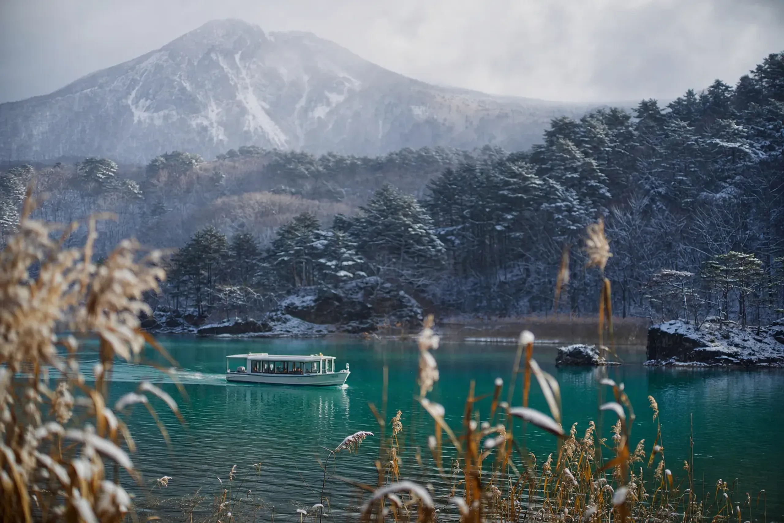
Rental canoes and stand-up paddleboards are also available for those who want the water up close.
For the history itself, the Bandai Volcano Museum is worth an hour. Its centrepiece is a three-dimensional recreation of the 1888 eruption, which makes the scale of the collapse legible in a way photographs cannot. It generally opens April to November; hours shift, so a call ahead is wise. Pairing the museum with the walk turns a pretty stroll into something closer to understanding.
What Is Urabandai Like In Summer?
Urabandai in summer is a cool-air escape, running roughly four degrees cooler than Koriyama down on the plain. At about 800 metres of elevation, July and August mornings and evenings feel genuinely fresh while the lowlands swelter.
July and August mean temperatures here sit around 19 to 21 degrees, pleasant for walking. Mornings can be downright cool. But summer brings its own small frictions: black flies and the occasional bee, rock that stays slick after overnight rain, and weekday crowds that have grown in recent seasons. Early is better. The light is kinder, the air is quieter, and the ponds have not yet been ruffled by a hundred passing walkers.
This is also why we lean toward an early start. Standing at Bishamon-numa before the first tour bus arrives is a different experience entirely. The restraint of the place — the way the water holds silence, the way the forest seems to withhold itself — only reveals itself when the trail is nearly empty.
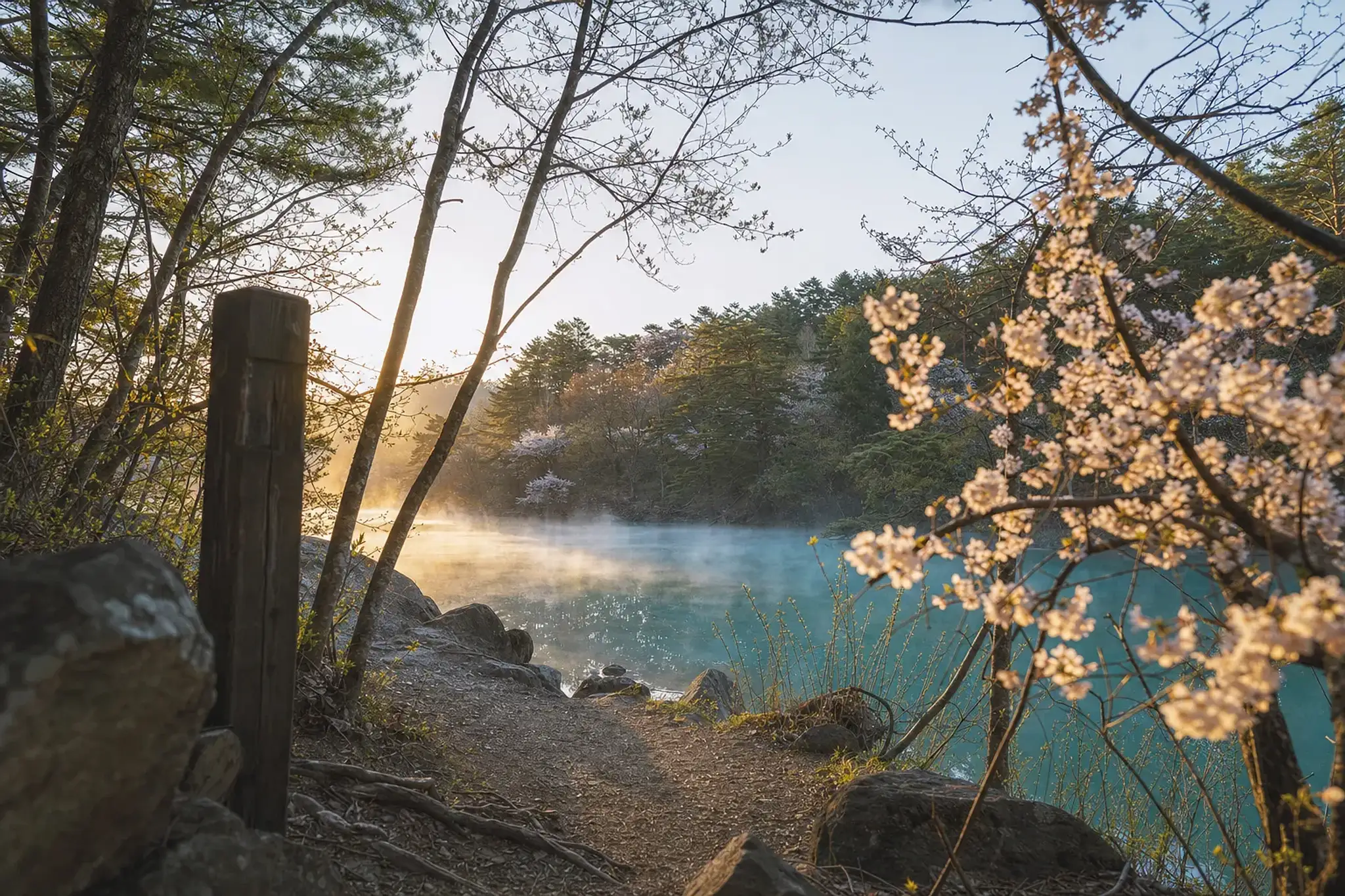
That emptiness is, in truth, the whole point.
Bears: The Honest Part
Urabandai is black bear habitat, and no serious guide pretends otherwise. The Visitor Center's advice is practical and worth following: carry a bell or a radio, walk in daylight, move in groups, and leave pets at home. If you do meet a bear, stay calm, back away slowly, and do not run. Bear bells can usually be rented in summer.
Conditions change. In the 2026 season, for example, a bear injured a person in July and part of the trail was temporarily closed, then reopened with limited hours and a requirement to carry bells and walk in groups. We mention this only to show how real the matter is, not as a current status. Before any visit, our concierge team checks the Visitor Center and the village for the latest trail notices and bear advisories on your behalf, so you are never guessing at the trailhead.
How Do I Get To Goshikinuma From Tokyo?
From Tokyo, take the Tōhoku Shinkansen to Koriyama (about 80 minutes), then the JR Banetsu West Line to Inawashiro (about 35 minutes), and finally a bus of roughly 30 minutes to the Goshikinuma area. By public transport it is a half-day journey.
The local bus operator is Aizu Bus, which took over the routes on 1 October 2023; older timetables still name Bandai Toto Bus, so don't be thrown by the discrepancy.
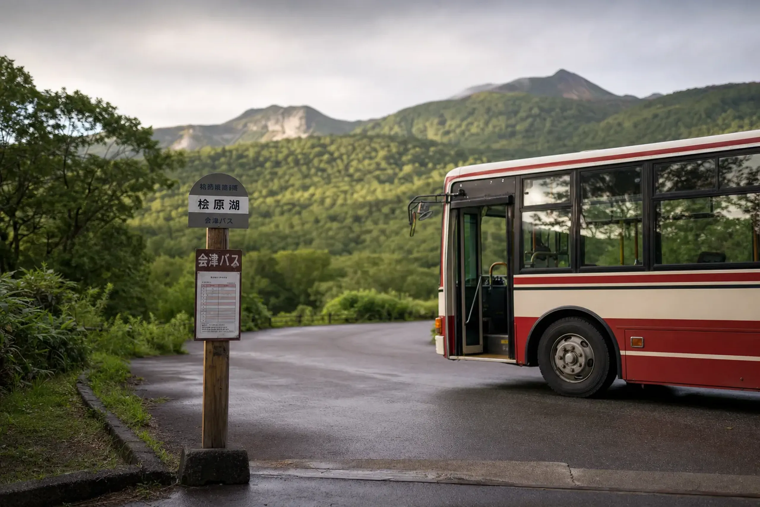
JNTO also notes an approach via the Aizu Bus to Urabandai Kogen, about forty minutes, then roughly a ten-minute walk to the ponds.
Access by road runs over the Bandai Gold Line and Bandai-Azuma Lake Line. Both close in winter and reopen in spring depending on snow; in 2026 they opened on 21 April. (The Bandai-Azuma Skyline, often confused with these, sits on the Azuma side and is not part of the Urabandai approach.) For most of our guests, the smoother path is a private chauffeured transfer that collects you at Koriyama and handles the point-to-point logistics of a one-way trail without a thought spared for timetables.
How We Shape The Day
A Goshikinuma day sits beautifully inside a wider Tōhoku itinerary. In our experience, the strongest version pairs an early-morning walk, before the crowds, with a mid-morning Lake Hibara cruise and a late lunch, leaving the afternoon for an onsen soak or the volcano museum.
A cultural interpreter guide walks with you, reading the geology and the pond colors aloud as you go, so the landscape stops being scenery and starts being a story. We coordinate the private transfer with partner-fleet vehicles, arrange accommodation and meals, and plan the pacing. We do not provide licensed mountain guiding or special trail access; what we offer is informed planning, confirmed conditions, and a day that unfolds without friction — and, where it matters to you, the discretion to keep both your identity and your itinerary entirely private.
The whole of it can be built around you as a bespoke itinerary rather than a fixed package. If you are weaving this into a longer route, our seven-day Tōhoku summer itinerary shows how Urabandai connects to the wider region, and those who prefer to anchor their trip in Aizu culture can read our guide to Tsuruga Castle in Aizu-Wakamatsu.
Frequently Asked Questions
How Long Does It Take To Walk The Goshikinuma Nature Trail One Way?
The main trail is about four kilometres one way and takes roughly one hour and ten minutes to one hour and thirty minutes at a relaxed pace. It is nearly level, with only about forty metres of elevation change, but the surface is rocky and muddy after rain, so wear hard-soled shoes.
Why Are The Goshikinuma Ponds Different Colors?
The colors come from light scattering off fine aluminium-silicate particles in the water and from iron oxide on some pond beds, and they shift with weather, season and time of day. There is no single cause, which is why the same pond can look turquoise in the morning and deeper blue by noon.
Is The Goshikinuma Trail Safe From Bears In Summer?
Urabandai is black bear habitat, so caution is required: carry a bell, walk in daylight, stay in groups, and back away slowly if you meet one.
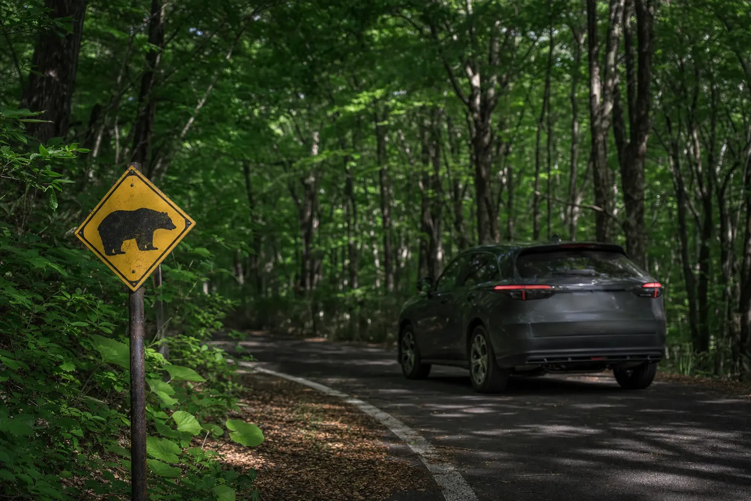
Trail closures and limited hours do occur after incidents, so always check the Urabandai Visitor Center and village for current notices before visiting.
Can I Climb Mount Bandai From Goshikinuma?
Mount Bandai is an active volcano at about 1,816 metres, currently at JMA alert Level 1, meaning "be aware." We do not offer climbing guidance; anyone considering an ascent should consult local authorities and the Visitor Center for current conditions. The Goshikinuma trail itself is a separate, gentle, near-level walk.
Why Choose Japan Royal Service
Urabandai is the kind of place the Golden Route never reaches, and that is exactly its value — the Japan that Google cannot find, reached by introduction and informed planning rather than mass itineraries. Few luxury travel companies have written anything serious about Goshikinuma at all. Our approach at Japan Royal Service is to treat a trail like this with the same care we give a private kaiseki or an imperial-class viewing: get the facts right, check the conditions, protect your privacy, and remove every point of friction before you arrive.
If you would like Goshikinuma shaped into a day — or a week — that unfolds entirely on your terms, with the timing, the car, and the conditions confirmed in advance, contact us here and we will prepare a tailored proposal for your journey through Urabandai and the wider Tōhoku region.