In this guide
- 01What Hachimantai Actually Is
- 02When Do The Aspite Line And Jukai Line Open?
- 03The Boardwalk And The Summit Walk
- 04When Do The Hachimantai Flowers Bloom?
- 05Are There Bears And Active Volcanoes On Hachimantai?
- 06The Onsen Towns And Appi Kogen
- 07How Do You Get To Hachimantai From Morioka?
- 08Beyond The Plateau: One Line Each
- 09How Our Concierge Team Plans A Hachimantai Day
- 10Plan Your Hachimantai Summer
- 11Frequently Asked Questions
You reach Mikaeri Pass before the valley has fully woken. The car has climbed out of the cedar forest for forty minutes, switchback after switchback, and now the trees thin and the sky opens. The rest house is still shuttered. The parking area sits on the Akita-Iwate border, and beyond it the plateau lies flat and grey-green under a low lid of cloud. You step out. The air is sharp, cool enough for a second layer, and somewhere behind you a small bell knocks against a backpack. This is Hachimantai at the start of a summer day — a highland stillness that rewards those who arrive early and unhurried.
Our team at Japan Royal Service has walked guests up to this pass many times, and the honest picture is always the same. A high, exposed place. Active volcanoes under your feet. Bears in the forest below. And a day that depends entirely on the weather and the posted notices. Done with care, though, few summer mornings in Japan feel as clean as this one — and few reveal so plainly the restraint that gives this landscape its beauty.
What Hachimantai Actually Is
Hachimantai is a plateau, not a peak. The summit sits at 1,613 metres, but it is a broad, plateau-like crown of andesitic volcanoes rather than a sharp point you labour toward. Two prefectures meet up here, Iwate and Akita, inside Towada-Hachimantai National Park, which spreads across Aomori, Akita and Iwate in northern Tohoku.
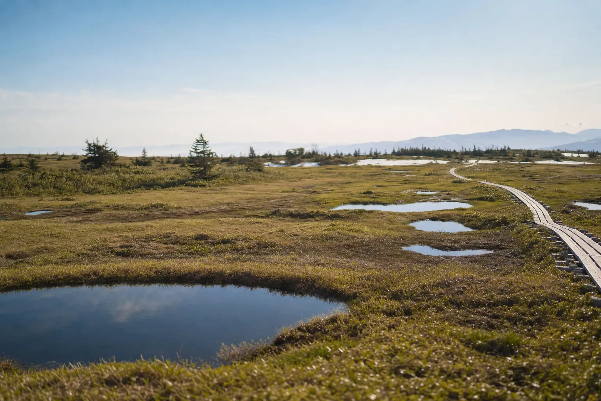
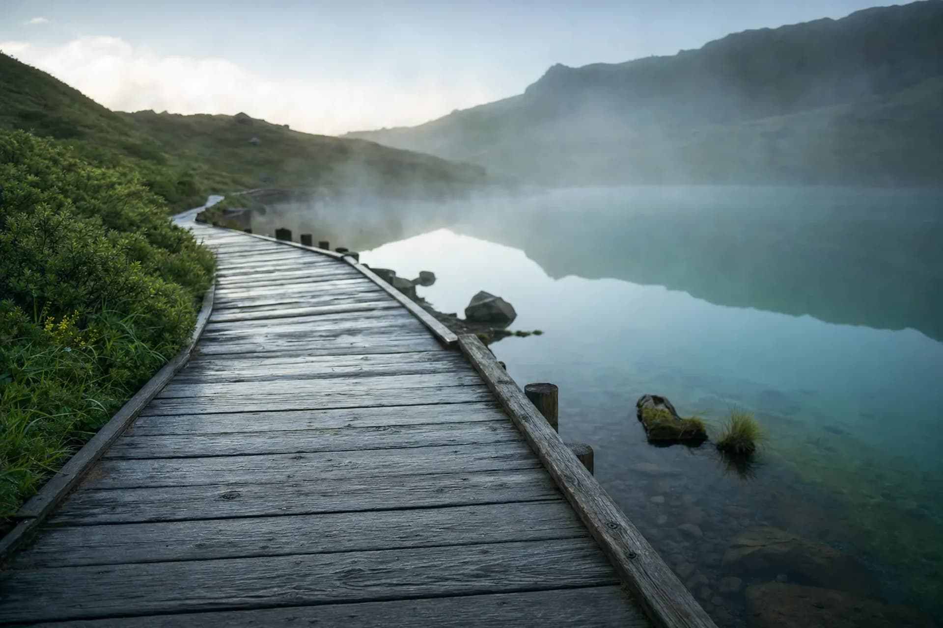
The symbol of the place is Hachiman-numa, a volcanic crater lake that sits near the top. Around it runs a boardwalk. Across the whole plateau runs a road. And in July, the open slopes fill with flowers. That is the shape of a visit: a road, a boardwalk, a crater lake, wide views when the cloud lifts. There is nothing ornamental here — the appeal is the quiet itself, moss and marsh grass and stone, the kind of restrained beauty that needs no embellishment.
The Japan National Tourism Organization notes that while the area is best known for autumn colour, summer can be its most pleasant season, the weather generally sunny and the crowds comparatively thin. That is the quiet argument for coming in the green months. Uncrowded boardwalks. Cool highland air. Marsh grass still bright. For a traveller who already knows the famous names of Japan, this is the Japan that a guidebook rarely sends you toward.
When Do The Aspite Line And Jukai Line Open?
The plateau's two mountain roads open in April and close for winter, roughly early November to mid-April; the exact dates change every year, so confirm with the road managers before you travel.
The Aspite Line is officially the Prefectural Road Obuke-Hachimantai Line, and Akita Prefecture issues its opening notice each spring.
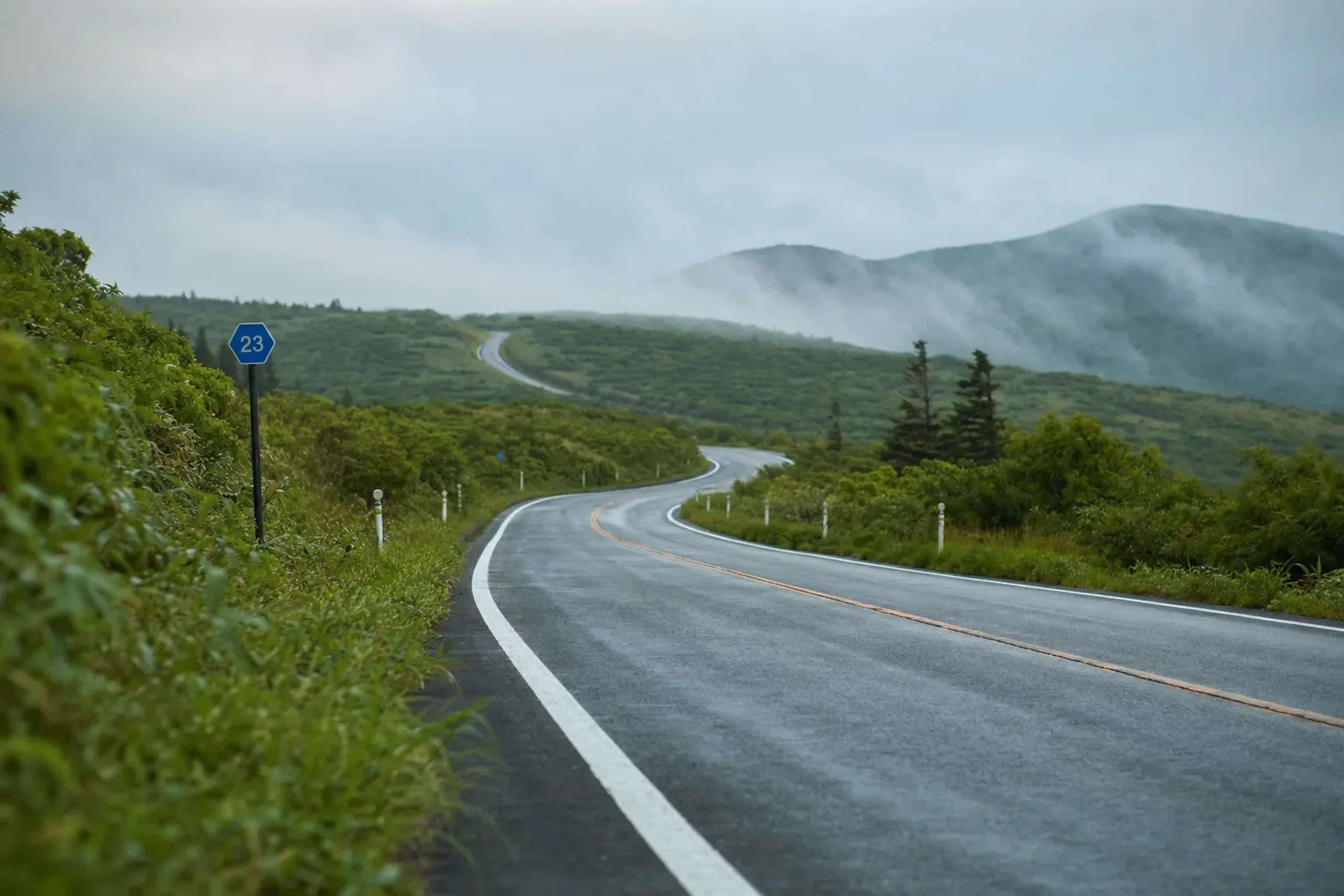
For the 2026 season, the Kazuno Regional Bureau release of 25 March 2026 planned the whole road to open on Wednesday 15 April 2026 at 10:00. We did not independently verify that it opened on that date. The Jukai Line, by our calculation from the Hachimantai Tourism Association's stated rule of the fourth Friday of April, would have been Friday 24 April 2026 — unconfirmed.
Together the two roads form a drive of about 55 kilometres taking roughly one hour ten minutes, according to the Ministry of the Environment. The Ministry lists both as closing for winter from around early November to mid-April. No fixed closing date was published, so treat November as a moving target. Our concierge team verifies the year's opening with Akita Prefecture on a client's behalf before any plan is locked — the kind of quiet legwork, done before you ever ask, that is the whole point of planning this place well.
Key fact: The Aspite Line is an Akita prefectural road, not an Iwate-only one. It crosses the border at Mikaeri Pass. Opening and closing dates shift year to year with the snow.
The Boardwalk And The Summit Walk
From the summit car park, the Hachiman-numa boardwalk loops about 1.5 kilometres, a round trip of roughly one hour according to the Tourism Association.
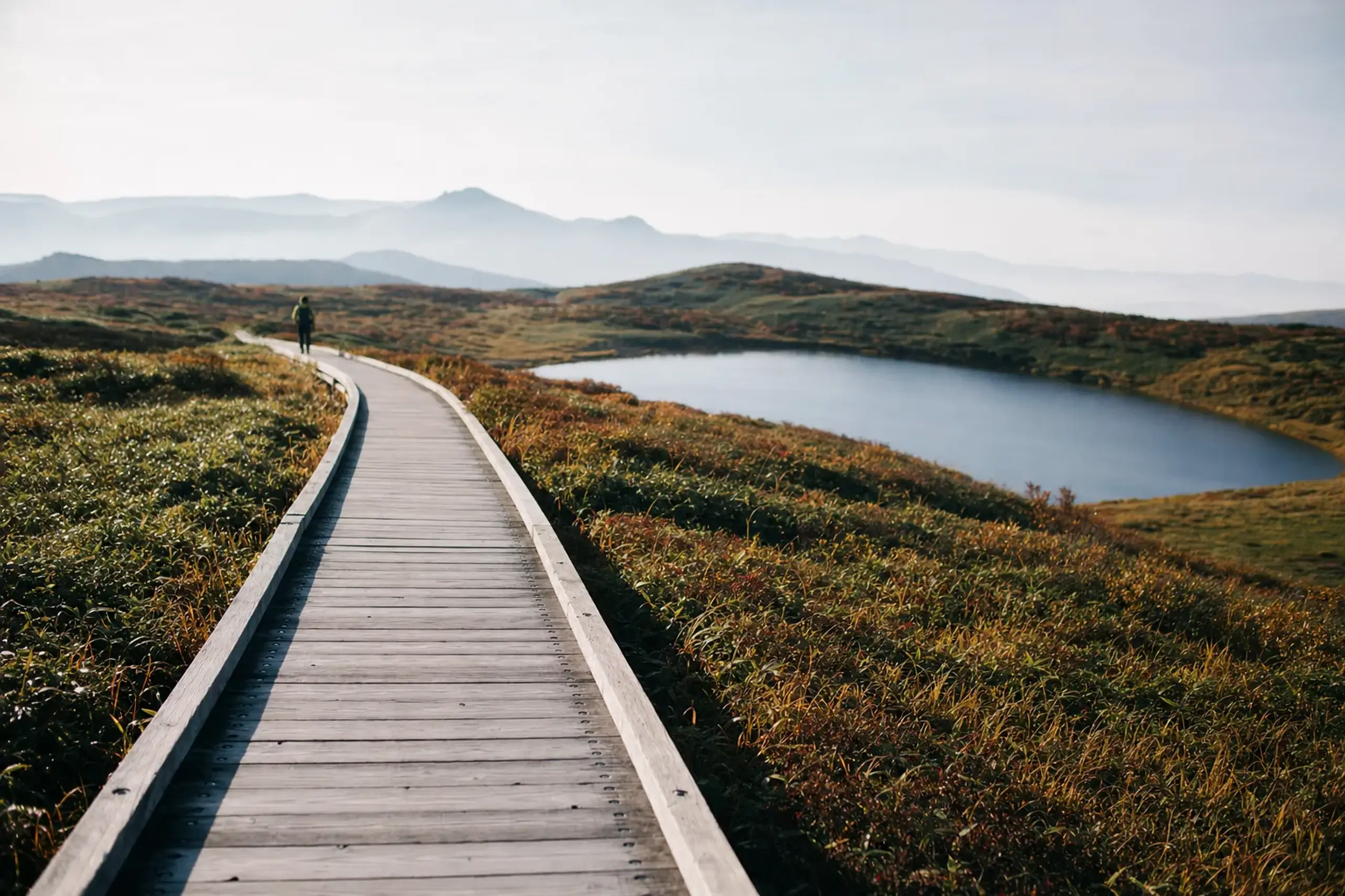
This is the walk most guests come for. Low scrub on either side, wooden planks underfoot, the crater lake lying flat and still when the wind drops.
If you want more, the Ministry of the Environment's Hachimantai Nature Trail runs from the Mikaeri Pass car park to a viewpoint, then on to Gentamori, then to the summit — about two hours thirty minutes for the full walk. On a clear day you can pick out Mt. Chokai far to the south-west and Mt. Iwate rising to the east. On a grey day you see cloud, moss and the near slope, which is its own quiet reward.
Neither walk is a climb in the usual sense. You gain little height. The challenge is the exposure, the weather, and keeping to the marked planks. Boots that shed water help; sections can stay damp well into summer.
When Do The Hachimantai Flowers Bloom?
The flowers peak from July into early August, then the slopes turn to autumn grass colour. The best-known display is the nikko-kisuge along the Kisuge-dori boardwalk south of Hachiman-numa. Knowing precisely which week to arrive — the few days when the day-lilies hold against the lake — is the sort of seasonal timing that separates a good plateau morning from an unforgettable one.
The Ministry of the Environment names nikko-kisuge from late July to early August, alongside hime-shakunage, kobaikeiso, hinazakura and watasuge across the wetland.
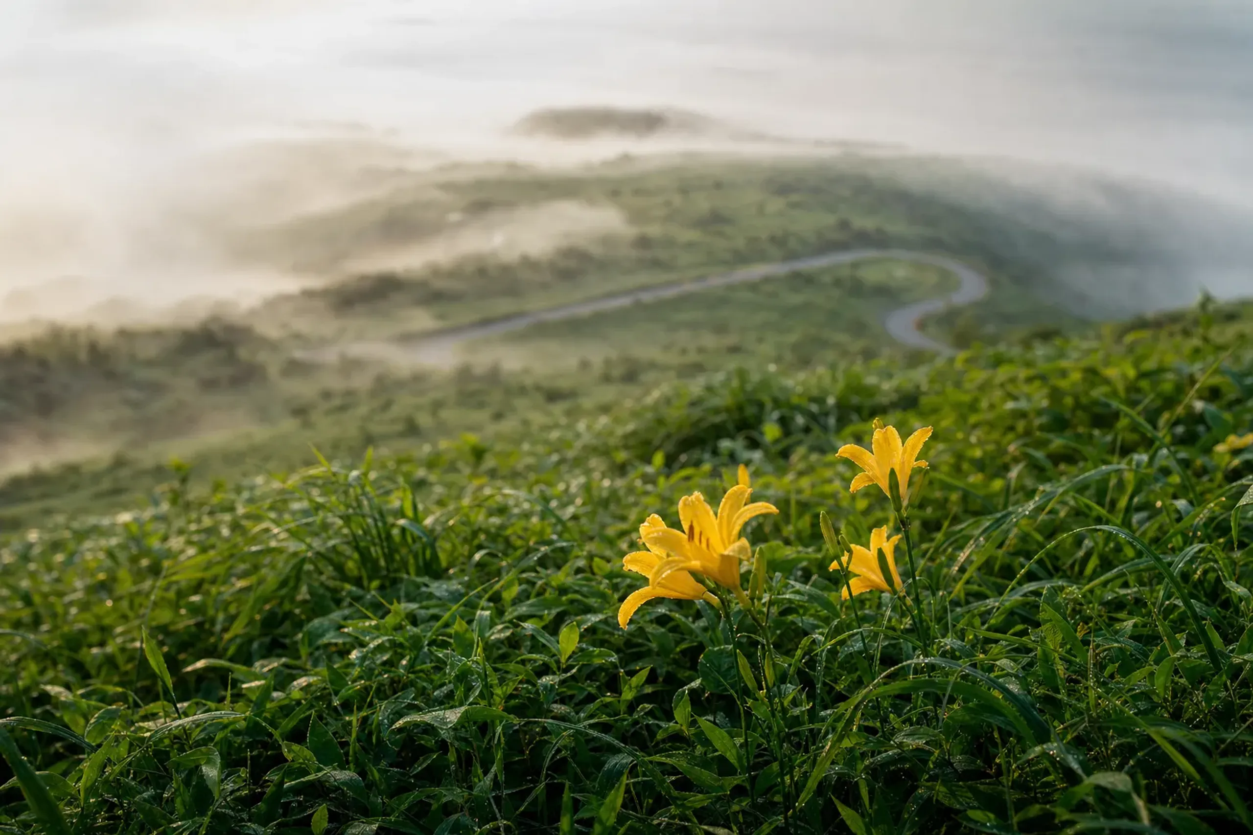
Come in mid-July and you walk through a slope of yellow day-lilies with the crater lake behind. Come in August and the colour softens toward the grasses that carry the plateau into its famous autumn. Either way, this is a short, generous window — and reading it correctly is exactly what our planning exists to do.
For a longer wetland day, the Ministry's marsh-and-volcanic-features course begins at the Hachimantai Visitor Center and runs about four hours, taking in four paths named Onuma, Goshogake, Obaya-chi and Tamagawa Onsen. One caution: the Obaya-chi path can close because of bears. Ask at the Visitor Center on the day before you set out.
Are There Bears And Active Volcanoes On Hachimantai?
Yes. These are active volcanoes with bears in the surrounding forest. Carry a bell, stay on the marked paths, and check the volcano and sighting notices before you go.
On the volcano side, the Japan Meteorological Agency lowered Mt. Iwate from Alert Level 2 to Level 1 on 27 August 2026, a level that had been in place since 2 October 2024. The JMA's monthly summary with data as of 8 October 2026 still listed Level 1. Even so, the agency warns that ash, volcanic gas and hot water could suddenly erupt inside the assumed crater, and it has reported gas and heat near Ojigokudani.
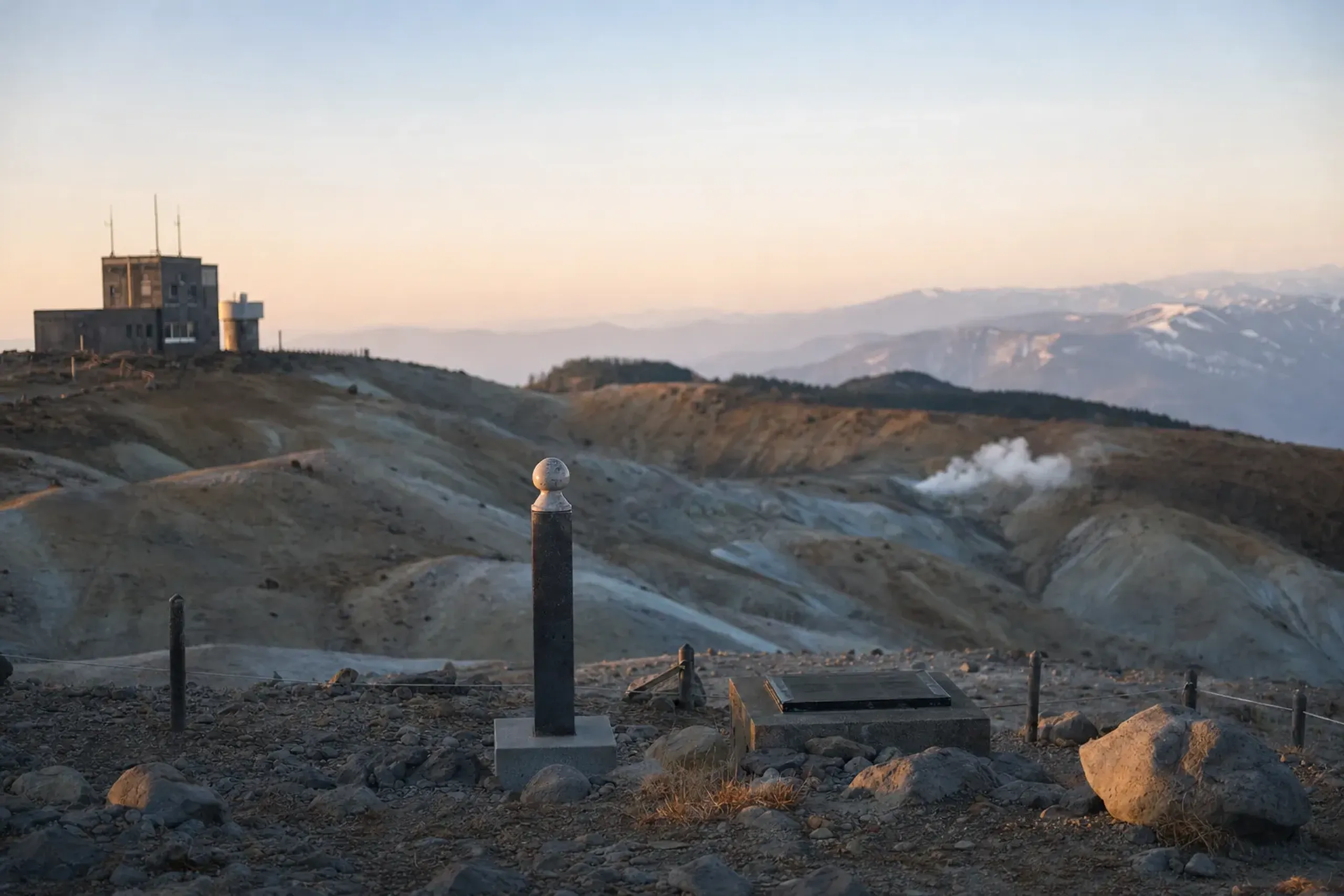
Akita-Yakeyama and Akita-Komagatake sit at Level 1, and the JMA notes that gas has caused climber accidents at Akita-Yakeyama. Hachimantai itself is designated an active volcano but is not continuously monitored. Treat all of this as current to the JMA notice of 27 August 2026 and the 8 October summary, and check the JMA again before travel.
On the bear side, Iwate Prefecture raised its statewide advisory to a warning on 22 April 2026, with no end date stated; Hachimantai City confirms it covers the whole prefecture. Akita Prefecture's sighting advisory ran to 30 November 2026. The sensible response is simple and unglamorous: a bell on the pack, feet on the planks, eyes on the posted reports.
There are also trail closures to know. Hachimantai City, updated 30 September 2026, reported that the section from the Matsukawa trailhead to Ubakura-yama on Mt. Iwate reopened on 1 October 2026, while other marked sections remained restricted. The 2026 Mt. Iwate opening ceremony was held on Wednesday 1 July, the first in two years. Before setting out on any Mt. Iwate section, check Hachimantai City's current notice.
The Onsen Towns And Appi Kogen
A few names ring the plateau, each worth a line. Matsukawa Onsen, in the south-east of the national park, is the site of the Matsukawa Geothermal Power Station, which began operating in 1966 as Japan's first geothermal power plant.
Goshogake Onsen, on the Akita side of the Aspite Line, has a mud pool called Oyunuma about a thirty-minute walk behind the inn. Appi Kogen is a resort area offering tennis, golf and trekking through spring and summer.
Appi carries a premium signal, too: the ANA InterContinental Appi Kogen Resort was named a One MICHELIN Key hotel in the 2026 selection, its third year running. If you want the geothermal heritage angle, the Matsuo Mine Museum in Hachimantai City records the industrial past of the plateau's mining era. We keep claims about any single inn out of print; the onsen and roads here are all public. Where a quieter ryokan suits you better, we arrange it discreetly, and your choice of stay — like your itinerary — remains entirely your own affair.
How Do You Get To Hachimantai From Morioka?
From Morioka Station, the Mikaeri Pass car park is about two to two and a half hours by bus. Morioka is the gateway, reached from Tokyo on the Tohoku Shinkansen in roughly two hours ten to two hours fifteen minutes.
A seasonal nature bus has run from Morioka Station onto the plateau — in the 2026 season, from 18 April to 25 October. From the Akita side, Tazawako Station to Mikaeri Pass runs about two hours twenty minutes.
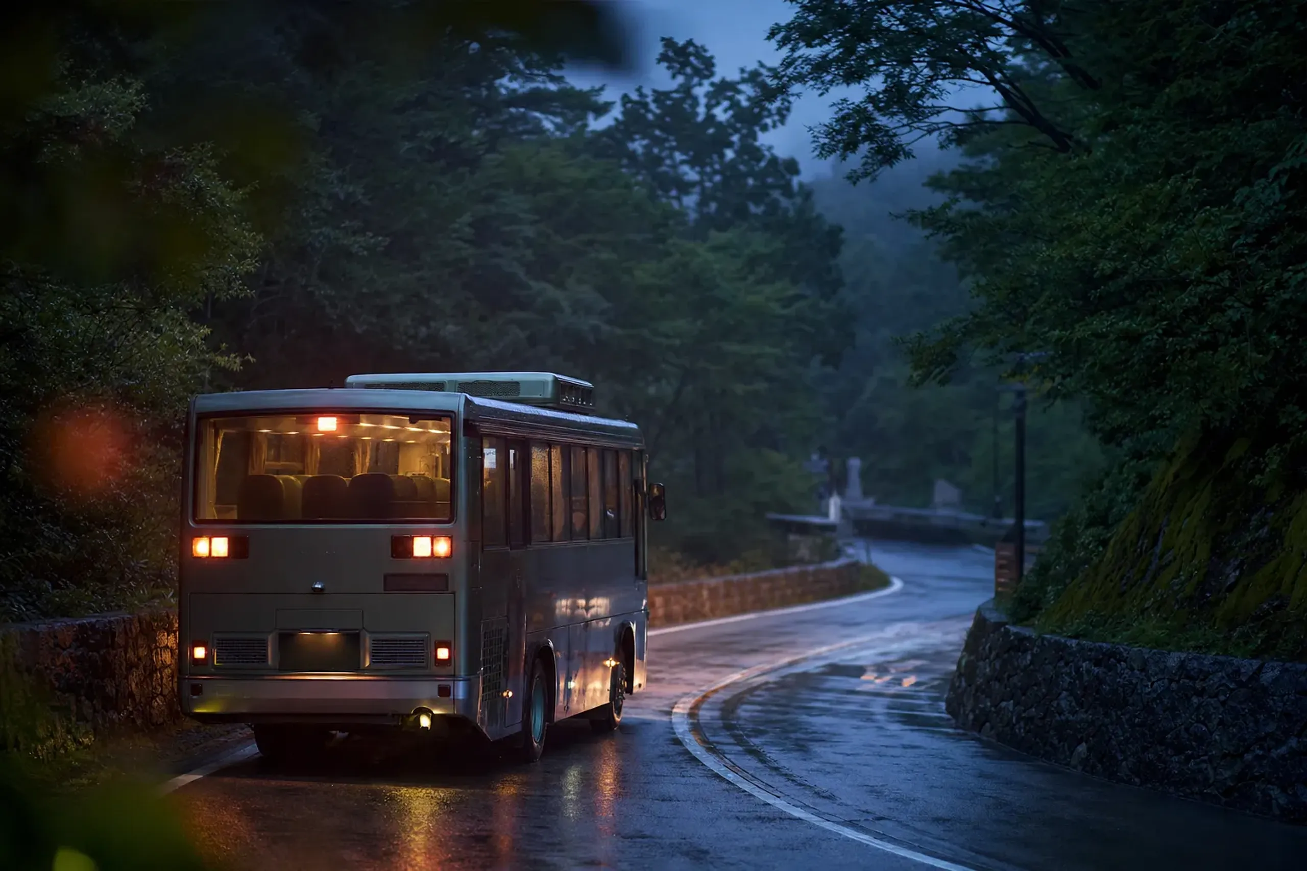
The practical catch is frequency: public buses here are slow and infrequent, which is exactly why a day on the plateau can feel rushed when it should feel calm.
For a plateau day that follows the weather rather than a timetable, many guests prefer a private chauffeured vehicle between Morioka or their hotel and the Mikaeri Pass area. Appi Kogen has its own station, Appi Kogen Station, about sixty minutes by train from Morioka; confirm the line and timetable before you build a plan around it.
Beyond The Plateau: One Line Each
If you have more days in the region, several neighbours pair naturally with a Hachimantai morning. Akita-Komagatake carries alpine flowers from June to September, with the komakusa at their best in July, about thirty minutes by bus from Tazawako Station to Alpa Komakusa. Nearby, Lake Tazawa is Japan's deepest lake and a good base on the Akita side. And in the city, Morioka's great summer festival, Sansa Odori, runs from 1 to 4 August — a drum-and-dance night that extends a nature stay into culture. For a crater-lake day of a different character, Zao's Okama in Yamagata makes a fine comparison.
For the ambitious, the Ministry of the Environment and JNTO describe a roughly 50-kilometre Iwate-Hachimantai-Appi trail of three to five days, with no campsites and only unmanned emergency huts.
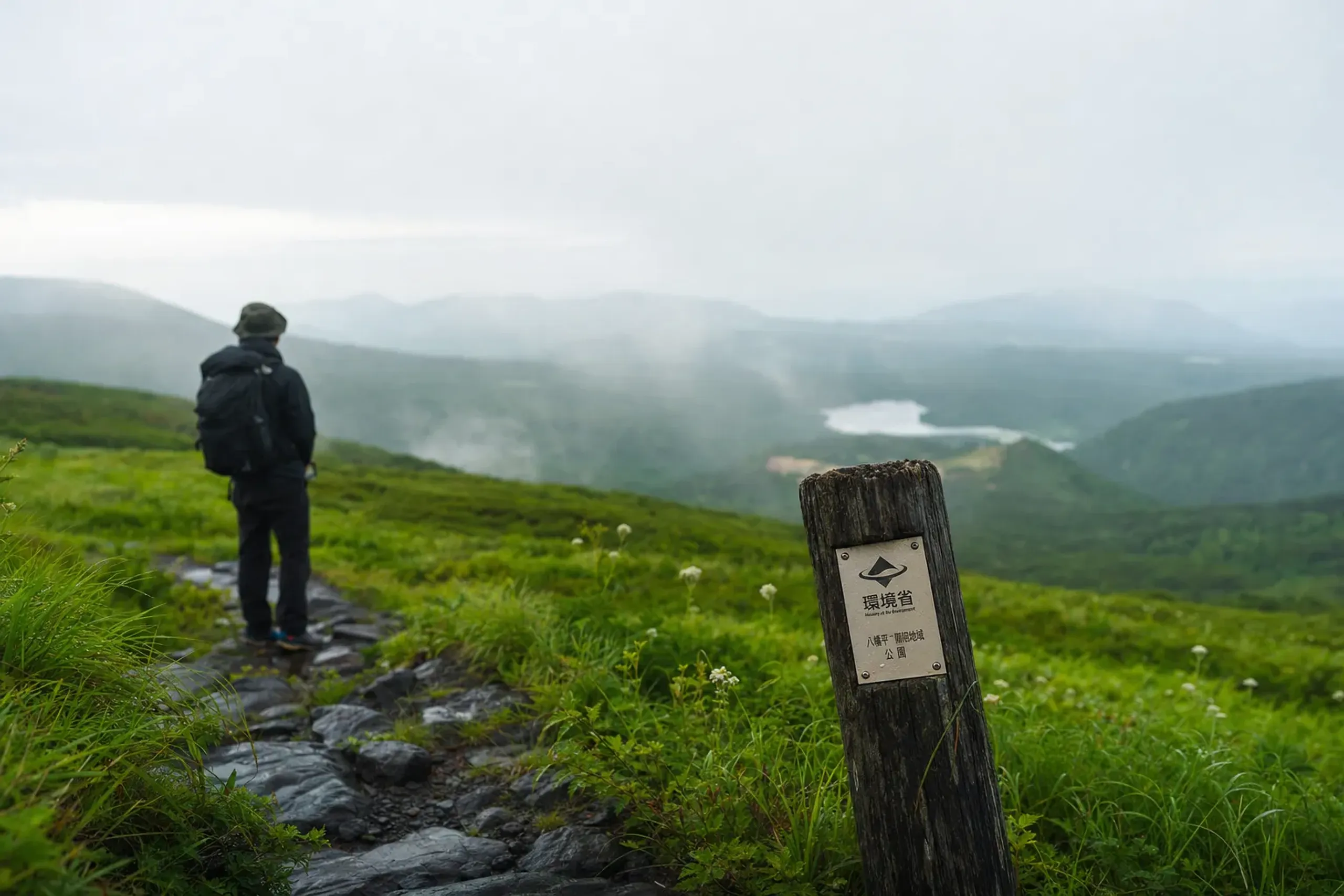
That is a long-distance route for the experienced, not a day walk.
How Our Concierge Team Plans A Hachimantai Day
A good plateau day is built backwards from the notices. Our concierge team at Japan Royal Service begins there, verifying on your behalf — ahead of the visit — the year's road opening, the current JMA volcano alert levels, the bear warnings from Iwate and Akita, and any Mt. Iwate trail restrictions from Hachimantai City. Only then do we shape the hours. The care that anticipates a closed road or a shifting bloom before you ever encounter it is the quiet work you never see — and precisely the kind you should never have to think about.
From that groundwork, a day usually has three parts:
- Planning. We build the day around the road season, the weather window, the volcano levels and the bear notices, with rest on either side so the plateau is never a scramble.
- Guiding. An English-speaking cultural interpreter guide for the day, drawing out the plateau's history, the onsen tradition and the regional culture. This is a cultural guide, not a mountain guide on the trails.
- Transfer. A partner-fleet vehicle between Morioka or your hotel and the Mikaeri Pass area, so you move on the weather's schedule rather than the bus's.
We also coordinate a hotel or ryokan in Hachimantai, Appi Kogen or Morioka, booked early, since the good rooms in green season go quietly.
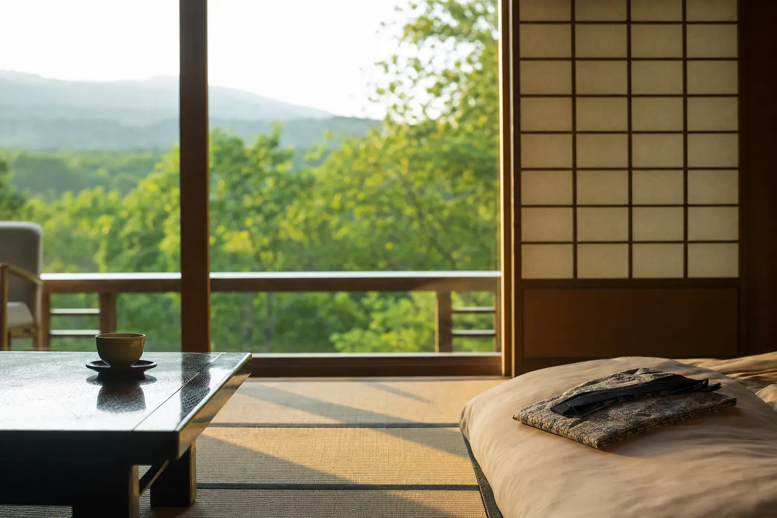
Every walk and onsen named here is public. We do not lead hikes, supply mountain guides, or offer any after-hours access — the honesty of this place is part of its appeal. A tailor-made multi-day itinerary simply removes the friction around it, and keeps the details of where you go and when entirely to yourself.
Plan Your Hachimantai Summer
A Hachimantai morning, timed to the right week and freed from the bus timetable, is one of the cleanest experiences northern Tohoku offers in the green season. If you would like us to read the notices, watch the bloom, and shape a plateau day around your calendar, contact us here and we will prepare a tailored proposal for your journey.
Frequently Asked Questions
When do the Aspite Line and Jukai Line roads open for summer?
Both open in April and close for winter, roughly early November to mid-April; dates shift yearly. For 2026, Akita Prefecture planned the Aspite Line to open 15 April. Always confirm the current year with the road managers.
How long does the Hachiman-numa boardwalk take to walk?
The Hachiman-numa boardwalk is a loop of about 1.5 kilometres, roughly a one-hour round trip from the summit car park. A fuller nature trail from Mikaeri Pass to the summit takes about two hours thirty minutes.