In this guide
- 01The Shiretoko Peninsula At A Glance: UNESCO Coast, Two Towns, One Road
- 02How Do The Shiretoko Five Lakes Summer Rules Work For The Boardwalk And Ground Walk?
- 03Can You Bathe At Kamuiwakka Falls In Summer?
- 04Shiretoko Crossing Road And The Shiretoko Nature Center: What To Check Before You Drive
- 05What Is The Best Utoro Cruise Route In Summer: Rusha Bay, Cape Shiretoko, Or Kamuiwakka?
- 06Rausu Cruises In Summer: What They Are Known For And What Is Not Promised
- 07Brown Bears In Shiretoko: What The Rules Mean For Visitors
- 08Getting To Shiretoko (Utoro Or Rausu) And Getting Around Once You Arrive
- 09Let Us Arrange Your Shiretoko Summer
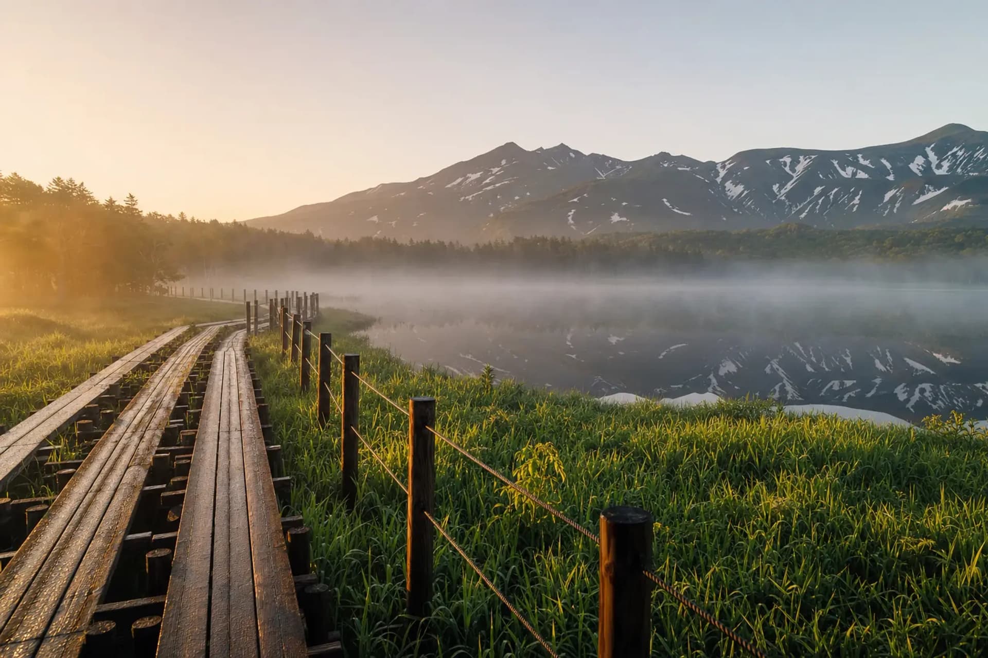
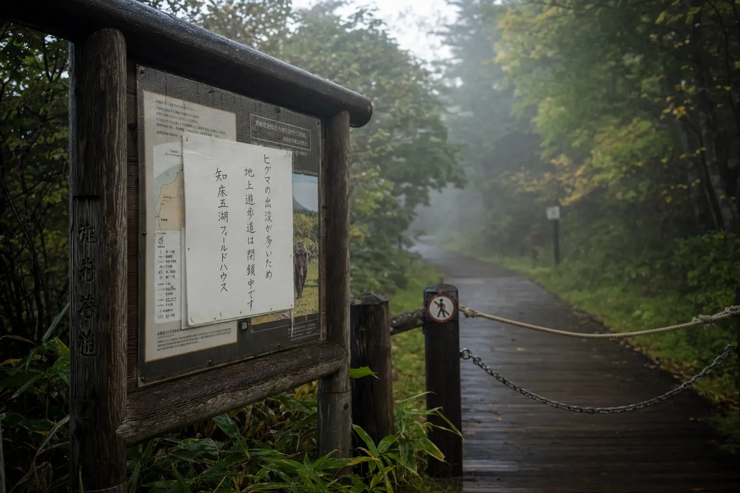
You step onto the Shiretoko Five Lakes boardwalk early, before the day warms. The air tastes of the Okhotsk Sea. The first lake sits perfectly still, a mirror edged by dark forest, and the silence feels deliberate—until a warning sign reminds you why this place is so quiet.
Shiretoko is not a theme-park wilderness. It is a living landscape—managed, watched, and updated day by day. Here, the rules are not a footnote. They are the itinerary.
This guide stays entirely on the Shiretoko Peninsula in summer: the UNESCO coast, the Five Lakes, Kamuiwakka Falls, the Shiretoko Crossing Road, the cruises from Utoro and Rausu, and the brown bears that quietly shape every decision you make.
The Shiretoko Peninsula At A Glance: UNESCO Coast, Two Towns, One Road
Shiretoko is a UNESCO World Heritage property (natural), registered in 2005. It is recognized for the rare interaction of marine and terrestrial ecosystems, and for the area's importance to many species—including a large brown bear population.
Two towns matter for travelers. Shari Town covers the Utoro side to the west. Rausu Town sits on the east, facing an altogether different stretch of sea.
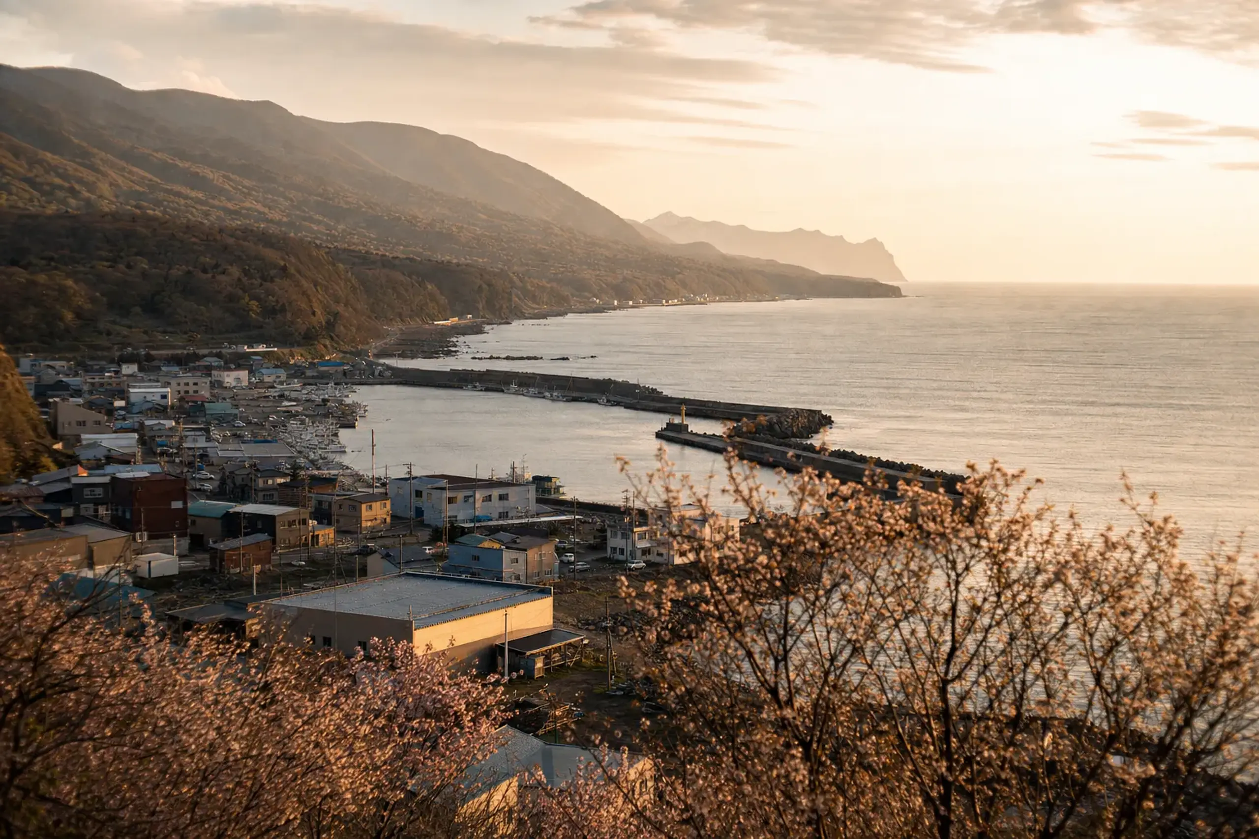
One road threads your days together. National Route 334—often called the Shiretoko Crossing Road—connects Utoro to Rausu via the Shiretoko Pass when it is open. In practice, its status decides whether your "quick transfer" becomes a long detour. A big difference, and one worth planning around.
How Do The Shiretoko Five Lakes Summer Rules Work For The Boardwalk And Ground Walk?
The elevated boardwalk is free and open even in bear periods, while the ground-level trail follows three seasonal rule periods that can require a short lecture or a registered guide.
The Five Lakes experience has two distinct layers. Most visitors start with the elevated boardwalk. It runs about 800 meters out to the first lake—roughly 1.6 km round trip—and typically takes around 40 minutes. It is step-free, and it is protected by an electric fence (roughly 7,000V). You can walk it even when bears are active nearby. That, quite simply, is the point.
The ground walk is a different proposition. It does not connect to the boardwalk route. It is a forest-and-lakeside trail system with two one-way loops: a large loop of about 3 km (around 3 hours) and a small loop of about 1.6 km (around 1 hour 45 minutes). Your pace naturally changes here, because you are listening as much as walking.
The Three Periods You Must Plan Around
Each year's dates can change, and closures can happen with little notice; the JRS concierge team confirms the current periods directly with the guest at time of arrangement.
Still, the structure is consistent enough to plan with confidence, then confirm close to your visit.
- From opening to around early May: a vegetation-protection period. A short lecture of about 10 minutes and an entry permit are required; a guide is not.
- From around early May to the end of July: a bear-activity period. The ground walk is only possible with a registered guide, in groups of up to 10.
- From August to closing: vegetation-protection rules return.
Even when the rules allow entry, the ground trail can close due to bear sightings or poor conditions, and guided walks can be cancelled outright. That is not "bad luck." It is the park working exactly as designed—and part of why a well-briefed visit matters so much here.
Key fact: Fees exist for the Five Lakes ground walk, and they can change; older figures online may be outdated.
What A Summer Morning At The Five Lakes Looks Like
The most relaxed rhythm is also the simplest: arrive early, do one lake walk well, then leave yourself ample room for weather and wildlife notices. Fog can roll in fast. So can a closure notice. The unhurried traveler is the one who leaves satisfied.
Facilities and parking typically open in the morning and close in the evening in summer.
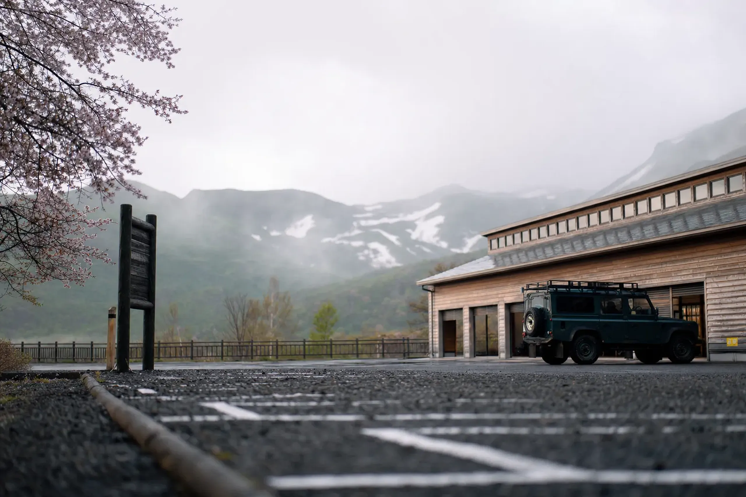
Times vary. Plan to be finished walking before late afternoon.
Can You Bathe At Kamuiwakka Falls In Summer?
No—Kamuiwakka is best treated as a reservation-based river wade to the Fourth Fall, bound by safety rules and shifting conditions. It is not a reliable "hot spring bath" experience.
Kamuiwakka Falls is one of Shiretoko's most talked-about names, which is precisely why it is so carefully managed. Access has been handled as a reservation-only summer program, with set daytime entry hours and a daily participant cap; the JRS concierge team confirms the current program directly with the guest at time of arrangement.
A safety lecture, a risk waiver, and a helmet have been required. The hazards are plain: slippery rock, strongly acidic water, no mobile signal, and bears.
One critical update for your expectations: the pool at the Fourth Fall is no longer suited to bathing, owing to rockfall risk.
The Gravel Road, The Shuttle Period, And Why Timing Matters
The road beyond the Five Lakes toward Kamuiwakka is about 11 km of unpaved gravel with sharp curves. It is slow going, and it can feel far longer than the map suggests. A private vehicle from a partner company, with an English-speaking driver, removes the fatigue from the equation; see our private transportation.
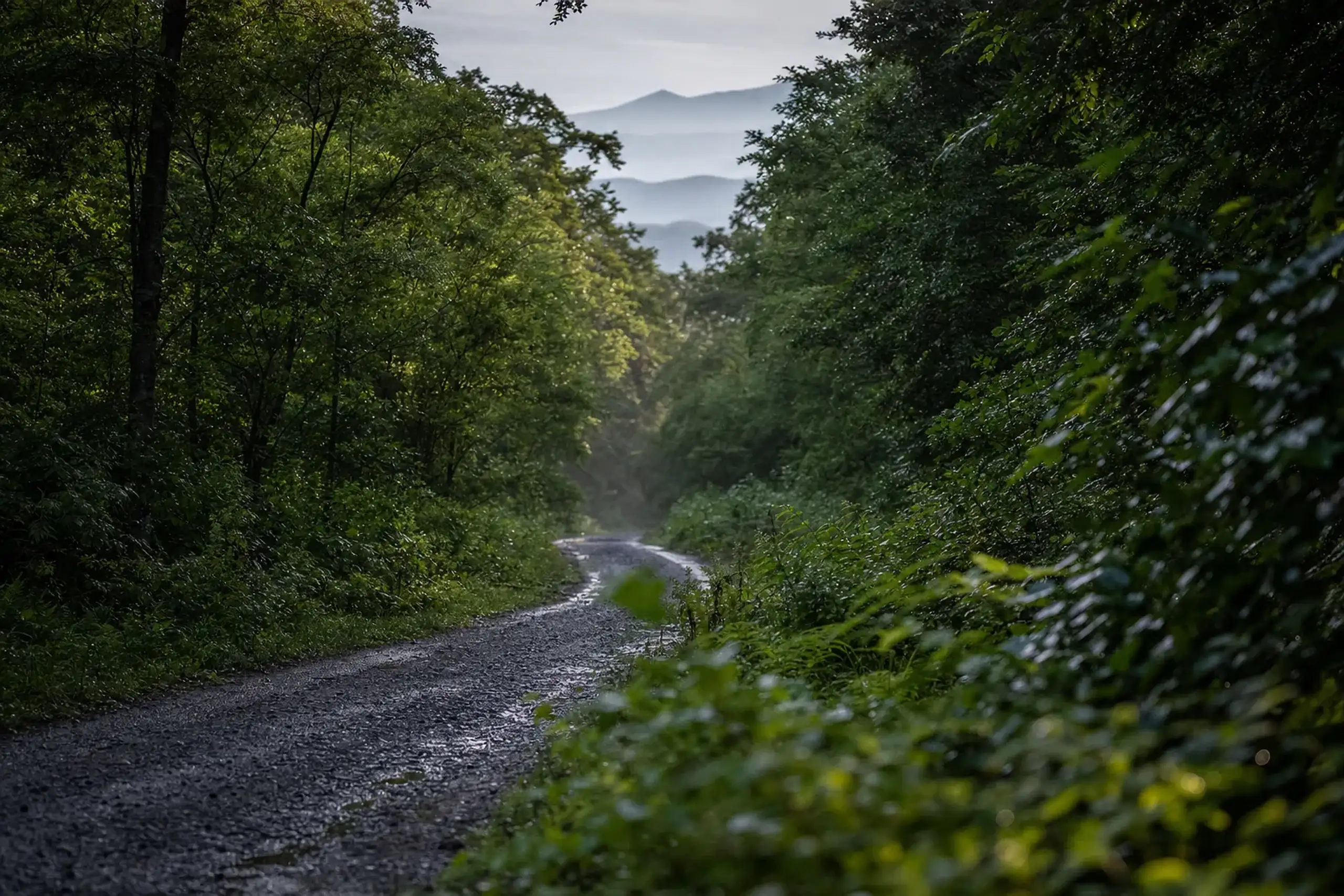
During a set period in mid-August, private cars have been barred between the Five Lakes and Kamuiwakka, with dates set each year. A shuttle has run from the Shiretoko Nature Center about every 45 minutes, taking around 40 minutes, with no stop at the Five Lakes. That single detail changes how you design the entire day.
The road past the Five Lakes can open before entering the river is permitted. This is a common trap for travelers who arrive "a bit early." Don't assume.
Shiretoko Crossing Road And The Shiretoko Nature Center: What To Check Before You Drive
The Crossing Road (Route 334) is the hinge between Utoro and Rausu. When it opens, you gain freedom. When it closes, you inherit limits.
The Crossing Road is typically closed for winter from early November to late April, and summer closures can still happen without warning; the JRS concierge team confirms the current status directly with the guest at time of arrangement.
Before you commit to crossing, we like to anchor the day at the Shiretoko Nature Center. It is a practical stop with current notices, and it gently forces you to slow down and read. A good habit in a place like this.
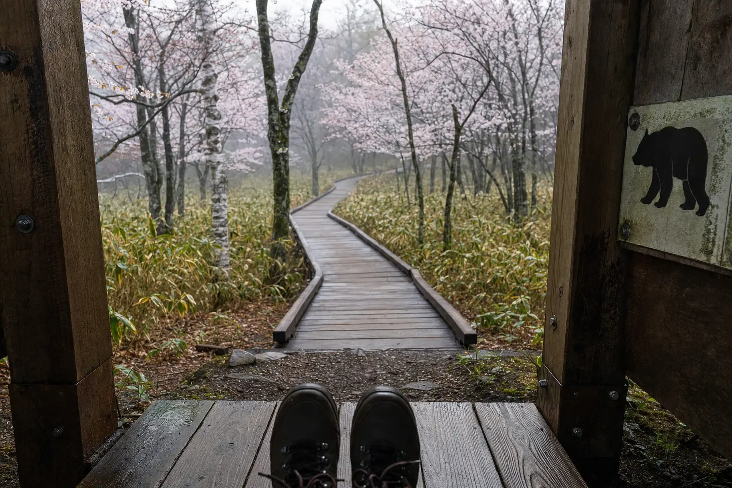
The Shiretoko Nature Center's published hours change by season, so confirm close to travel.
A Quick, Honest Detour: Oronko Rock
If you want a short leg-stretcher near Utoro, Oronko Rock is often mentioned. It stands about 60 meters high, reached by roughly 170 steps. It is free. And on a clear day, the view from the top feels like a complete reset.
What Is The Best Utoro Cruise Route In Summer: Rusha Bay, Cape Shiretoko, Or Kamuiwakka?
Choose one Utoro route based on sea conditions and your available time: Kamuiwakka is about 1.5 hours, Rusha Bay about 2 hours 15, and Cape Shiretoko about 3 hours 45 to 4 hours.
Utoro boat trips are shaped by wind, wave height, and visibility. Operators can decide as little as one hour before departure whether a cruise will run, and there may also be minimum-passenger rules. A good plan accepts that uncertainty and builds a backup that still feels like a real, satisfying day—knowing what to do on which day, in which conditions, is exactly what a seasoned hand brings to the itinerary.
Here are the typical route profiles as published by an Utoro operator (season windows are set each year; the JRS concierge team confirms dates and daily operation directly with the guest at time of arrangement):
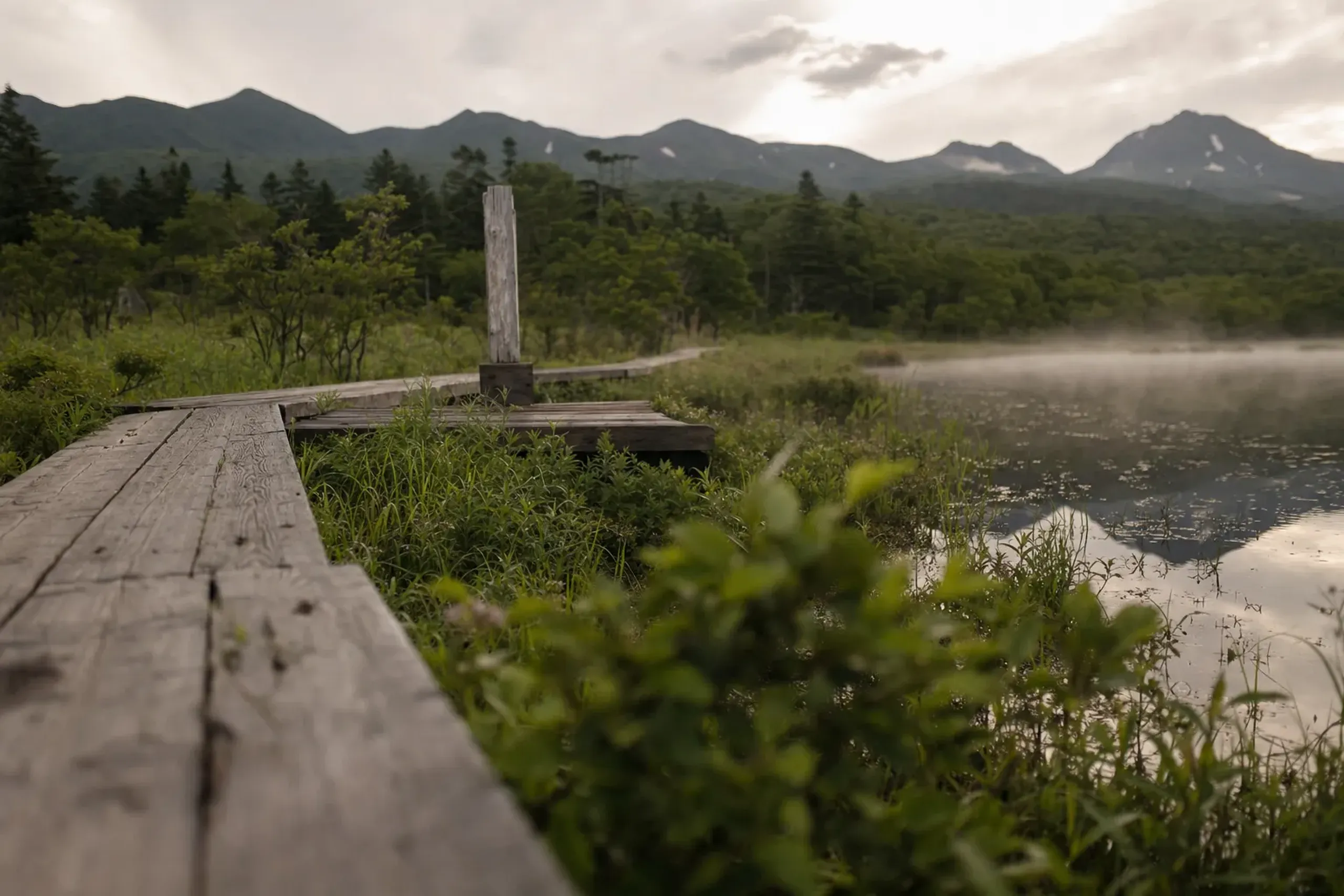
Option A: Kamuiwakka Falls Route (Utoro)
This is the "shorter coastline" commitment. It is often the best fit when you want the afternoon free for a Five Lakes walk, the Nature Center, or a slow lunch.
- Typical duration: about 1 hour 30 minutes
- Typical season window: late April to late October
- What it feels like: dramatic cliffs, cold sea air, and a tight schedule that still leaves slack
Option B: Rusha Bay Route (Utoro, Small Boat)
Rusha Bay is often discussed because brown bears live around this area, as noted in official materials. That does not mean you will see one. It means the coastline you pass is genuine habitat.
- Typical duration: about 2 hours 15 minutes
- Typical season window: late April to early October
- Operator note: wildlife sightings are not guaranteed
Option C: Cape Shiretoko Route (Utoro)
This is the long gaze outward. It asks for stable weather and patient travelers, and it rewards you with a profound sense of distance from the rest of Japan.
- Typical duration: about 3 hours 45 minutes to 4 hours
- Typical season window: from Golden Week or June to mid-October
- Planning consequence: this can easily become the main activity of your day
Rausu Cruises In Summer: What They Are Known For And What Is Not Promised
Rausu lies on the opposite side of the peninsula from Utoro, with its own conditions and its own style of cruising.
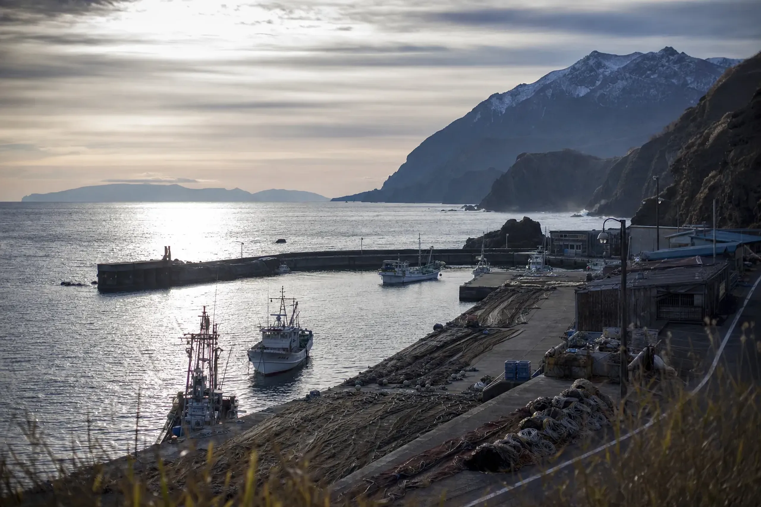
Official visitor information notes that sperm whales, dolphins, and killer whales may be seen around Rausu, varying by season. That wording matters. It signals possibility, not certainty.
If you are deciding between bases, ask yourself a blunt question: do you want to wake to the Okhotsk-facing Utoro coastline, or to Rausu's vantage into entirely different waters? Then layer in the crossing-road status and the day's wind.
We avoid building a "species checklist" into a luxury itinerary. It creates pressure, and pressure is the enemy of a quiet morning. Better to build in time. You take the cruise that is safe to run that day, with the light you have, and you accept the sea's answer with grace.
Brown Bears In Shiretoko: What The Rules Mean For Visitors
Brown bears live here, and Shiretoko's visitor rules reflect that reality at every turn. Local rules for trails, wildlife and the water apply and can change; follow your guide's briefing, and the JRS concierge team confirms current conditions directly with the guest at time of arrangement.
Check current sighting information before you set out, and respect every trailhead closure.
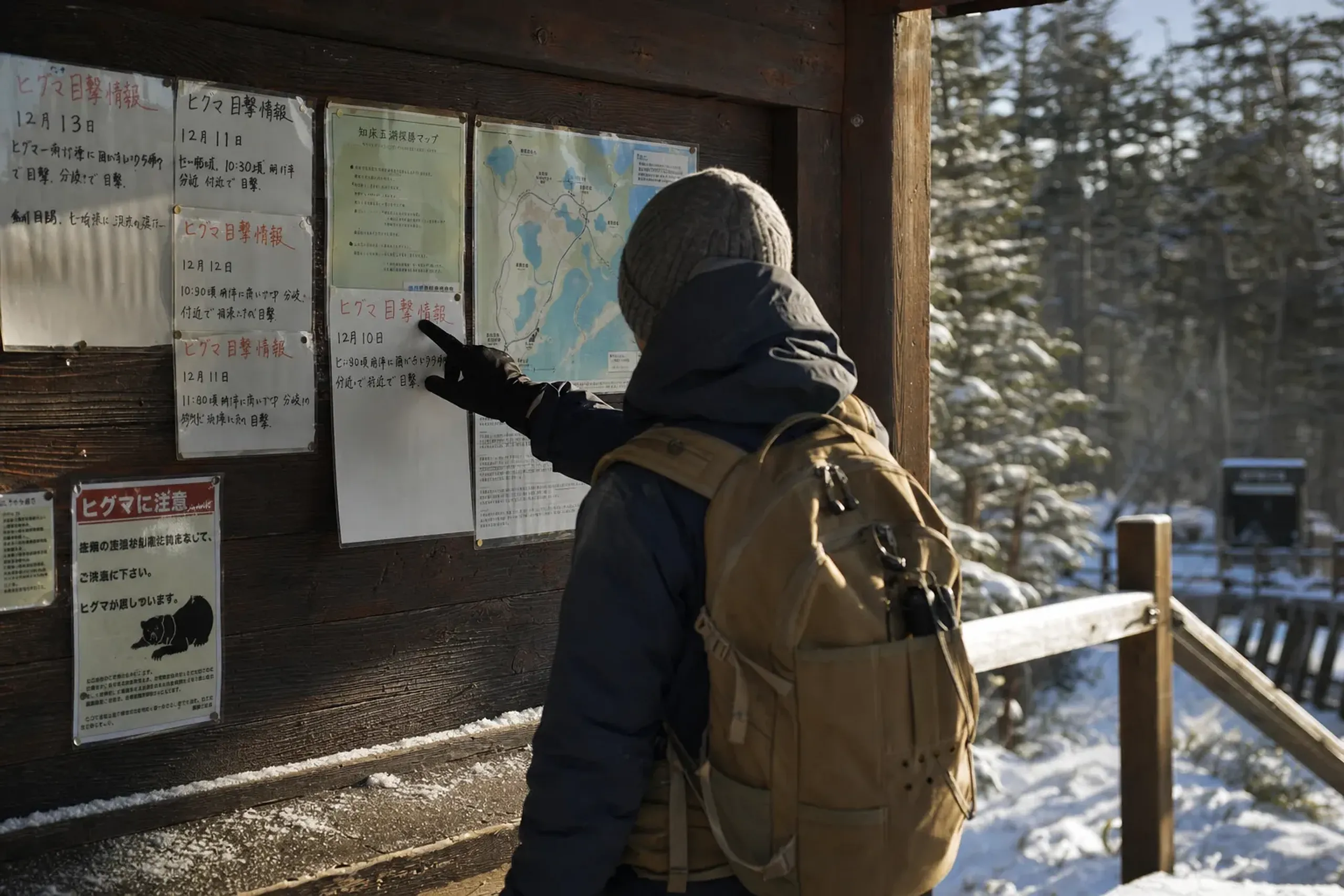
Carry all litter home with you.
Key fact: Significantly approaching or stalking wildlife is banned in national park special zones (rules strengthened from 1 April 2022), and ignoring an order to stop may lead to a fine.
Getting To Shiretoko (Utoro Or Rausu) And Getting Around Once You Arrive
Shiretoko rewards travelers who accept its geography rather than fight it. Distances are not extreme on paper, but public transport can be infrequent, and weather can slow everything down.
Access Gateways: Memanbetsu And Nakashibetsu
For Utoro, Memanbetsu Airport is a common gateway. The Memanbetsu–Utoro "Shiretoko Airport Liner" bus has operated as a seasonal summer service, with web booking recommended. One published planning reference describes Utoro as about 90 km and roughly 2 hours from Memanbetsu.
For Rausu, Nakashibetsu Airport is often discussed. A reference routing lists Nakashibetsu to Rausu as about 1 hour 10 minutes by bus. Again: confirm timetables close to travel. They do change.
Local Distances You Can Actually Use
- Utoro to Shiretoko Five Lakes: about 14 km, around 20 minutes by car
- JR Shiretoko-Shari to Utoro: possible by route bus, but services are limited
Public transport is workable, but it is unforgiving if you miss a connection or if fog delays a cruise.
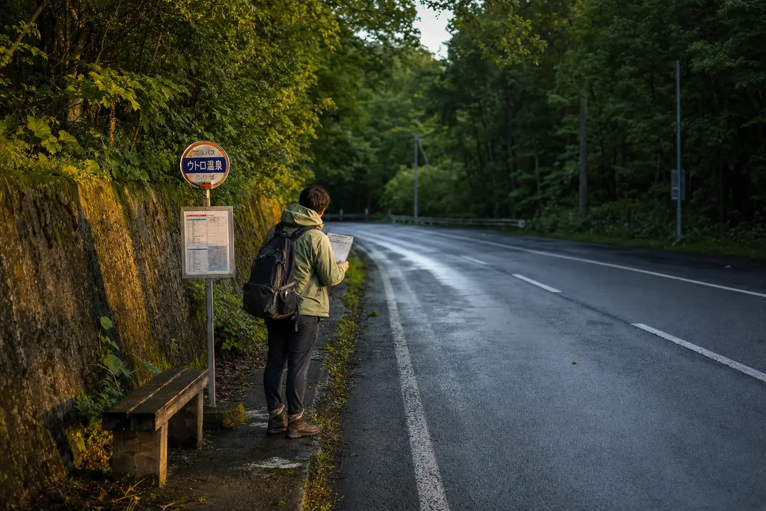
Many travelers opt for a private driver or a carefully built tailor-made itinerary for the flexibility the region demands. The key is to resist over-scheduling. Leave space—the weather here will take some of it from you regardless.
Weather And Packing: Summer Is Cool, Wet, And Sometimes Foggy
In Utoro, Japan Meteorological Agency normals (1991–2020) show July and August means around 17.3°C and 18.8°C, with average highs around 22.0°C and 23.3°C. Lows can settle near 13.2°C and 14.8°C. This is not beach heat. Pack layers, a waterproof shell, and the patience that the far north quietly asks of every visitor.
Let Us Arrange Your Shiretoko Summer
Shiretoko rewards those who read it correctly—who know which gravel road is open, which cruise will run in the morning's wind, and when the river at Kamuiwakka may be entered. That quiet mastery of timing and access, handled on your behalf, is the difference between a trip you endure and one you remember.
For Shiretoko across both seasons, see Shiretoko: Two Seasons, One of Japan's Wildest Places, and for winter on the coast, Drift Ice in Hokkaido.
To begin planning, contact our team here.