In this guide
- 01Where The Tsugaru Peninsula Is, And Why Summer Is A Driving Season
- 02Cape Tappi: Lighthouse, Song Monuments, And A Cape Made Of Wind
- 03The West Coast: Lake Jusan And The Tosaminato Story
- 04Kanagi And Goshogawara: Dazai’s Home And August Lantern Floats
- 05Tsugaru Quasi-National Park: The Peninsula As One Long Edge
- 06August Weather On The Peninsula: Cool Mornings, Sea Air, And Real Numbers
- 07How Far Is Cape Tappi From Shin-Aomori Station By Car?
- 08How A Two-Day Tsugaru Peninsula Summer Plan Usually Fits Together
- 09Getting To Tsugaru: Shin-Aomori As The Practical Rail Gateway
- 10How The Concierge Team Plans A Tsugaru Peninsula Day When Weather Shifts
- 11Small Extensions (One Line Each): Hirosaki, Shirakami-Sanchi, And Osorezan
- 12Frequently Asked Questions
- 13Why Choose Japan Royal Service
The first thing you notice at Cape Tappi is the light.
A pale, round tower. A low sky that moves quickly. Sea on three sides, and a clean, sharp horizon when the air decides to cooperate.
This corner of Aomori feels like a fingertip pressed into the strait. Quiet. Bracing. Made for a slow look, not a fast checklist.
Where The Tsugaru Peninsula Is, And Why Summer Is A Driving Season
The Tsugaru Peninsula is the north-west “finger” of Aomori Prefecture, pointing toward Hokkaido across the Tsugaru Strait.
One side faces the Sea of Japan. The other leans into Mutsu Bay. The landscape changes as you circle it, and the distances are honest.
That is the key. Distance.
The cape, the west-coast lake, and the small towns of Kanagi and Goshogawara do not sit close together, and public transport between them is thin in places.
In summer, the coastal roads are open, the light lasts longer, and you can stitch the peninsula into one continuous day by car—built around three anchors: Cape Tappi, the Ryupo Line, and Lake Jusan.
Cape Tappi: Lighthouse, Song Monuments, And A Cape Made Of Wind
Cape Tappi (Tappizaki) sits at the northern tip of the Tsugaru Peninsula, where you can look toward the Sea of Japan, the Tsugaru Strait, and Mutsu Bay.
Locals nickname it the “wind cape.” You feel why within minutes. The air has a salty edge, and the soundscape is mostly sea and gulls.
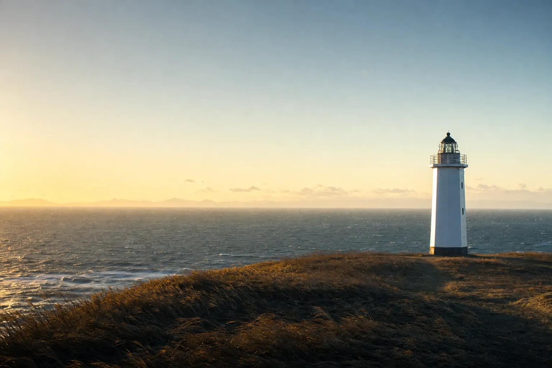
The landmark is Tappizaki Lighthouse, a white, round tower listed among Japan’s 50 Selected Lighthouses (as cited by Aomori’s official tourism information).
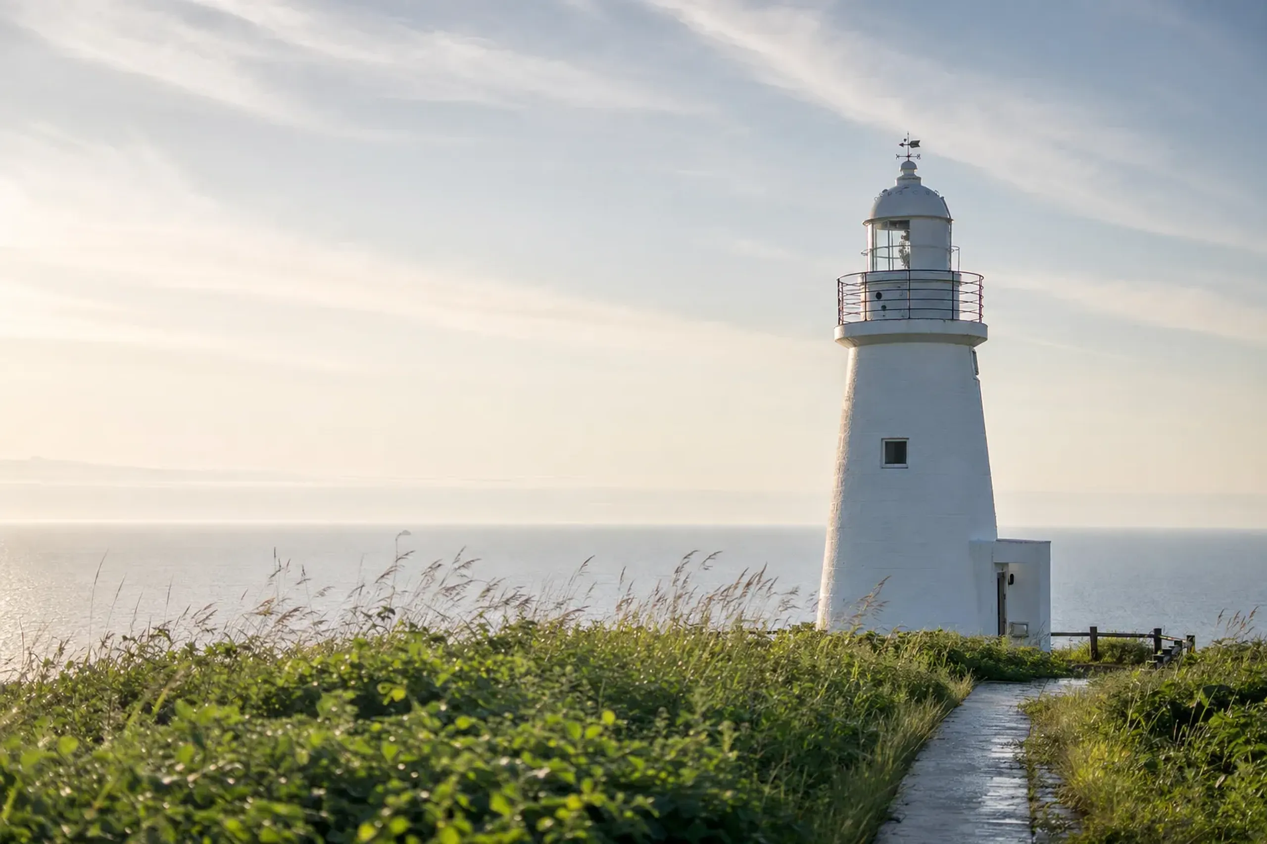
Nearby, you will find monuments tied to the area’s cultural memory, including a song monument for “Tsugaru Kaikyo Fuyugeshiki” and a Dazai Osamu literary monument. There are also remains of an old artillery battery.
On clear days, the Matsumae Peninsula and the mountain at Hakodate may be visible in clear conditions. Not guaranteed. When it happens, it feels like a small permission slip from the weather.
The Stairway National Route 339 (The “Stairway National Road”)
Here is the detail most first-time visitors miss until they arrive: a stretch of National Route 339 is pedestrian-only, built as a stairway between Tappi fishing port and the lighthouse.
Aomori’s tourism information describes it as Japan’s only stairway national road. The numbers are precise: 362 steps, 388.2 meters long, with roughly 70 meters of elevation change.
It closes in winter. In summer, it becomes part of the cape’s story, even if you simply stand at one end and let your eyes measure the slope.
The Ryupo Line: Route 339 From Kodomari To Tappi
The Ryupo Line is an approximately 20 km section of National Route 339 between Kodomari and Tappi, known for switchbacks, viewpoints, and open sea views.
It is closed in winter, with reopening set each year. In the warm season it is typically the scenic thread that makes the peninsula’s north tip feel continuous rather than isolated.
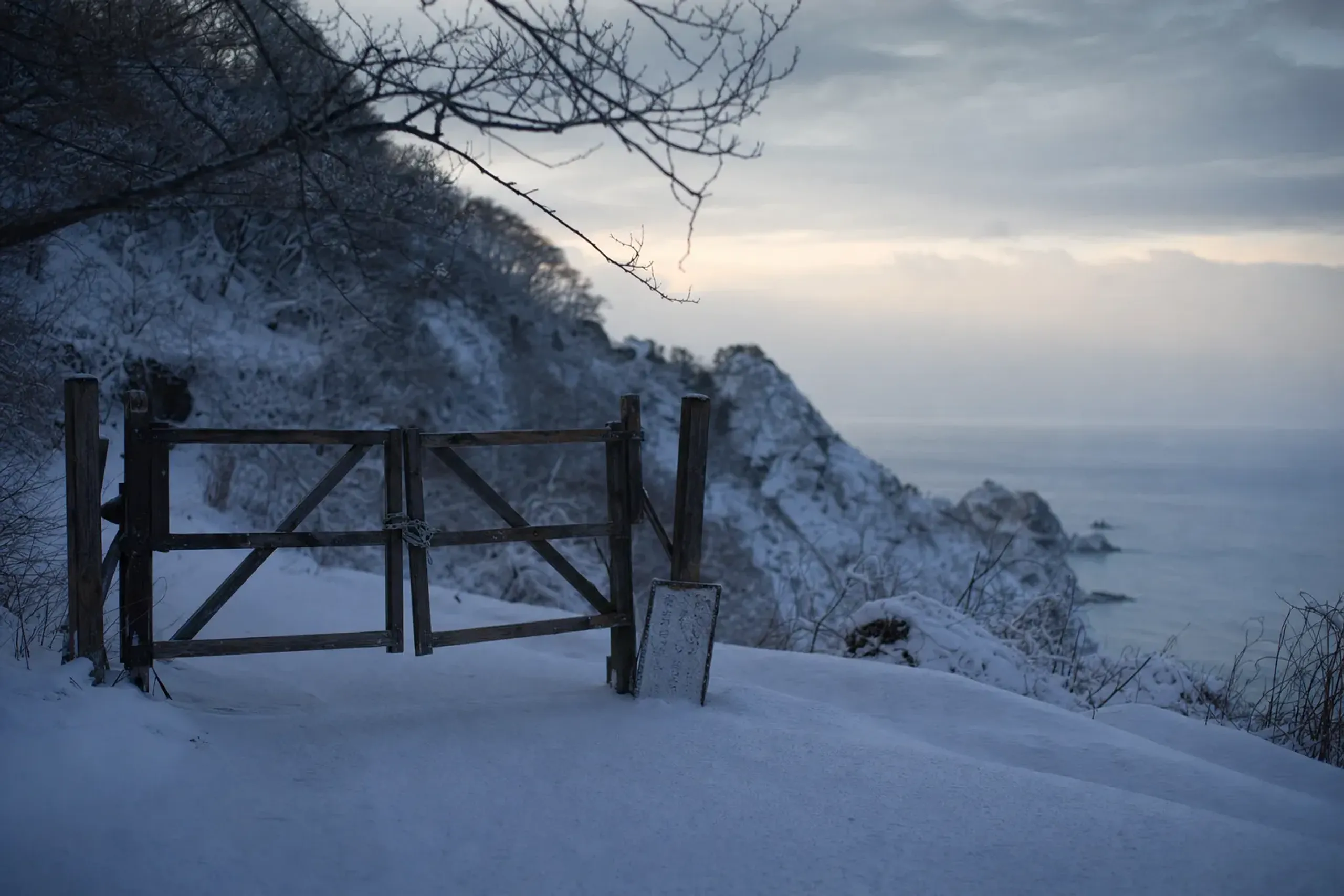
Road conditions can shift with fog and local weather. The JRS concierge team confirms directly with the guest at time of arrangement.
Tappikan: A Small Stop That Explains The Area
Tappikan is an information house in a former inn at Tappi, with displays related to Dazai Osamu and the artist Munakata Shiko.
It is described as open daily in the warm season. It is useful when the cape is under cloud and you want context without forcing the pace.
The West Coast: Lake Jusan And The Tosaminato Story
After the cape and the coast road, the scene changes.
Lake Jusan (Jūsan-ko) is brackish, wide, and low-lying on the Sea of Japan side. It sits behind the coastal line like a held breath.
Official sources describe it at about 7 km north to south and 5 km east to west, with a 31.4 km circuit around the lake.
The name refers to the rivers that flow into it—thirteen in total—including the Iwaki River. The landscape feels shaped by water moving slowly, not by mountains pushing up.
Yamato Shijimi Clams: The Local Taste To Look For
Lake Jusan is known for Yamato shijimi clams.
The product name “Jusanko-san Yamato Shijimi” is registered under Japan’s geographical indication (GI) system, as cited by Aomori’s tourism information.
In practice, this is a simple summer pleasure: a bowl of clam soup that tastes like the lake’s salinity, with none of the noise that follows trend.
Tosaminato Ruins: A Medieval Port On A Quiet Shore
The Tosaminato ruins sit on the west shore of Lake Jusan.
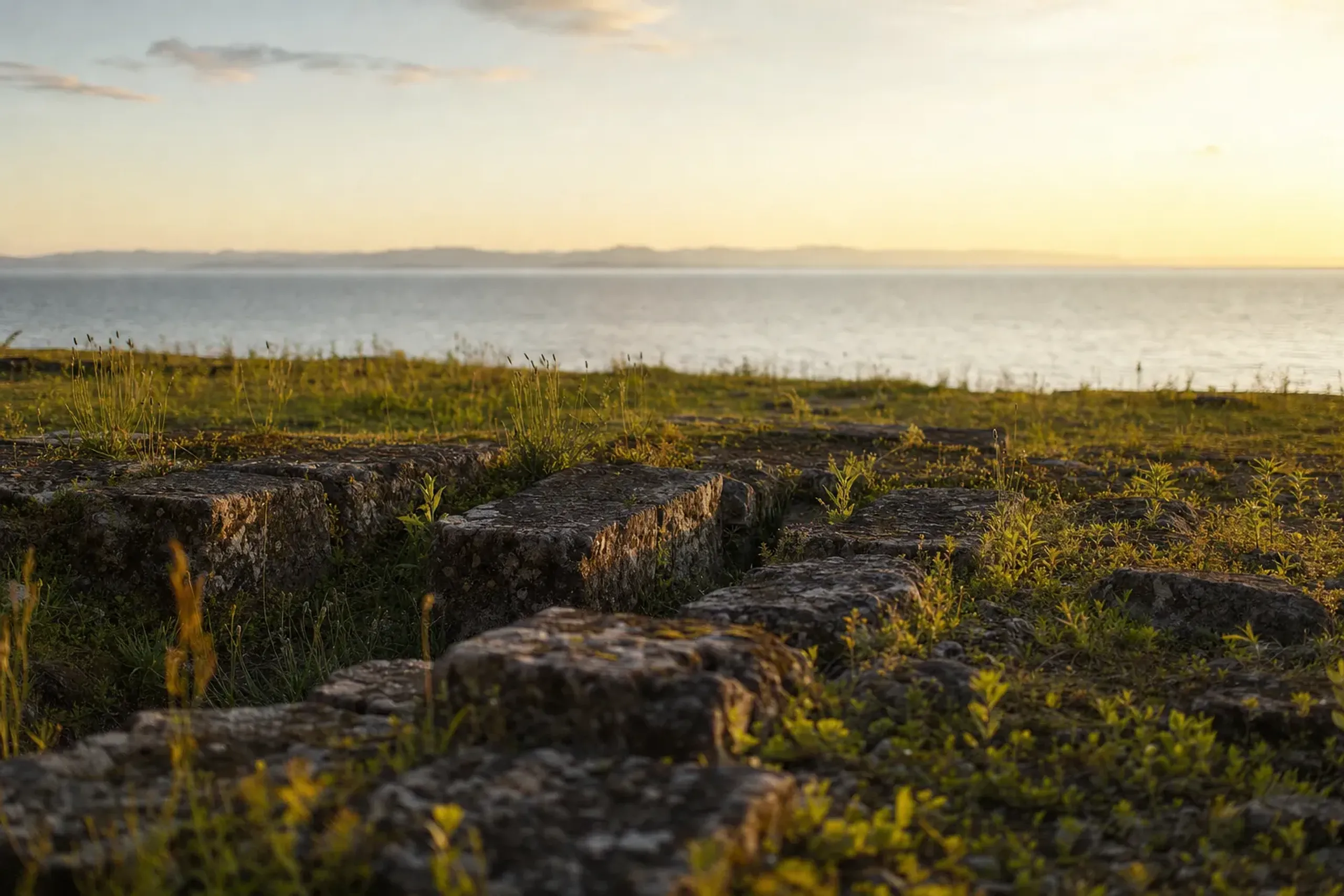
They are a medieval port site associated with the Ando clan, dating to roughly the 13th to 15th centuries, and are designated a National Historic Site (designated in 2005, per the Agency for Cultural Affairs).
You are not looking at a dramatic reconstruction. You are looking at place and inference—where a port once met the lake, and where the peninsula’s trade routes once made sense.
Kanagi And Goshogawara: Dazai’s Home And August Lantern Floats
Kanagi and Goshogawara bring you back to streets, stations, and human scale.
This is still Tsugaru, but not the Tsugaru of wind and sea. It is the Tsugaru of literature, family houses, and festival craftsmanship.
Kanagi’s Shayokan: The Former Tsushima Residence (Dazai Osamu)
The Shayokan is the family home of the writer Dazai Osamu, officially the Former Tsushima Residence.
It was completed in 1907. Dazai was born there in 1909. The building is designated an Important Cultural Property (designated in 2004, per Aomori Prefecture information).
It later operated as an inn, and today it is a memorial museum. The feeling inside is not spectacle. It is weight—wood, rooms laid out for a different century, and the sense of a family house that became a public object.
Some sources describe it as about a 7-minute walk from Kanagi Station. The JRS concierge team confirms directly with the guest at time of arrangement what timing works best for the day’s flow.
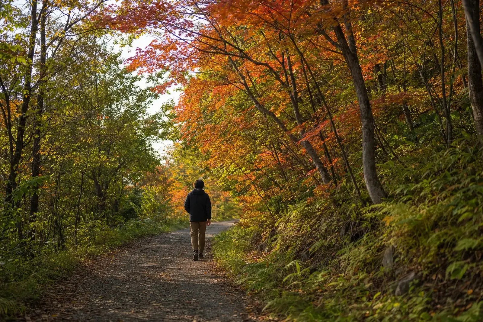
Goshogawara’s Tachineputa: Floats Built Like Architecture
Goshogawara Tachineputa is held in August, with dates set each year.
The city describes the giant lantern floats as reaching about 23 meters in height and about 19 tons in weight. They parade through the city center and feel less like “floats” and more like moving structures.
If you want to see the craftsmanship up close outside the parade window, Tachineputa no Yakata displays the large floats and is described as about a 5-minute walk from Goshogawara Station.
Festival schedules and any viewing details change year to year. The JRS concierge team confirms directly with the guest at time of arrangement.
Tsugaru Quasi-National Park: The Peninsula As One Long Edge
The places in this guide—Cape Tappi, Lake Jusan, and the Byobuyama dune area—sit within Tsugaru Quasi-National Park.
Aomori Prefecture notes the park was designated on 31 March 1975, covering 25,966 hectares and stretching roughly 180 km from Sotogahama to Fukaura.
That designation matters in a subtle way. It signals that this coastline is not a single “spot,” but a continuous edge—best understood through motion, weather, and the long view from the road.
August Weather On The Peninsula: Cool Mornings, Sea Air, And Real Numbers
August on the Tsugaru Peninsula can feel cooler and milder than many travelers expect from “summer in Japan.”
For a grounded reference, Japan Meteorological Agency normals for Aomori City (1991–2020) list an August mean temperature of 23.5°C, with a mean maximum of 27.8°C, a mean minimum of 20.0°C, and rainfall of 142.0 mm.
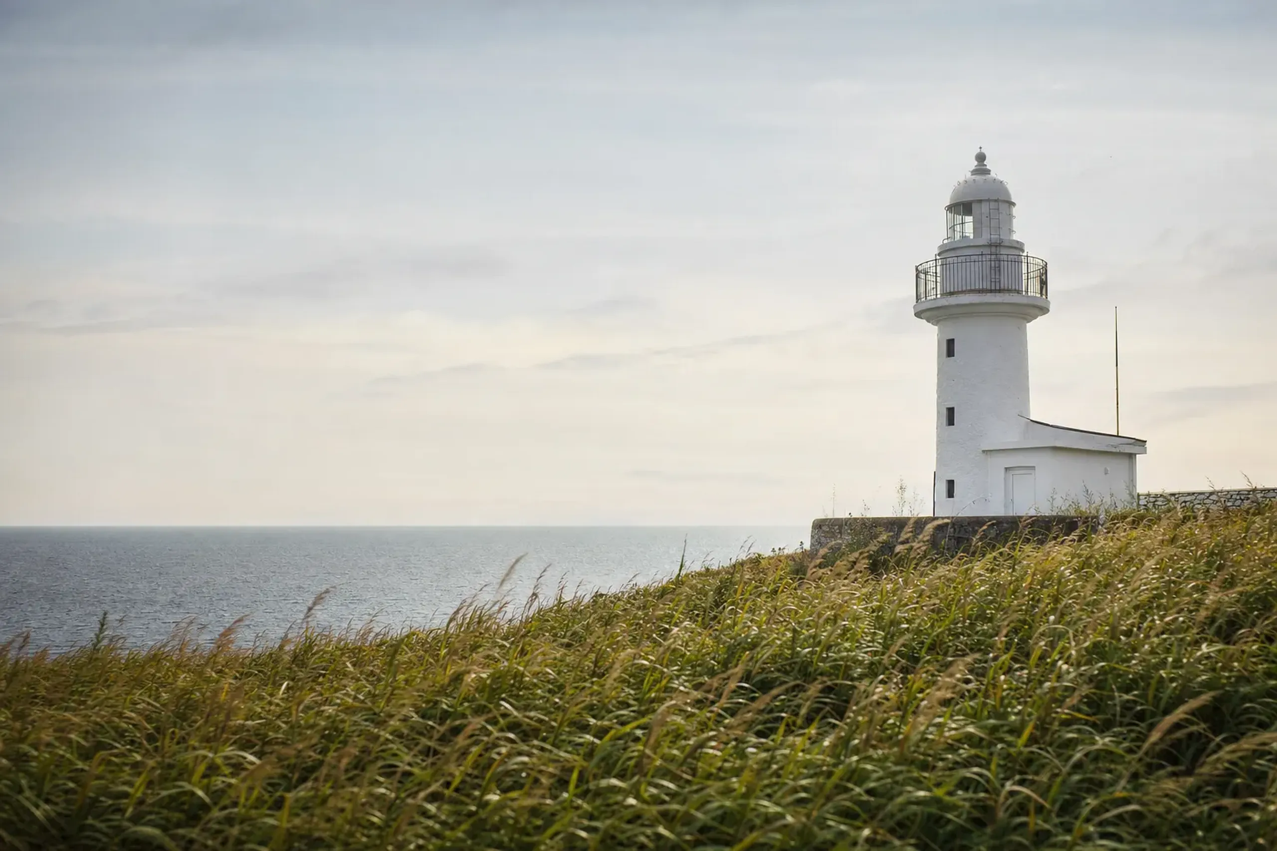
Tappizaki Lighthouse stands at the peninsula’s northern tip, facing the Tsugaru Strait.
Aomori City sits on Mutsu Bay rather than the west coast or the cape, so the peninsula’s tip can feel different—especially with sea wind and fog.
Pack for change, not heat. That mindset keeps the day pleasant.
How Far Is Cape Tappi From Shin-Aomori Station By Car?
Official tourism guidance puts Cape Tappi at about 90 minutes by car from Aomori IC, and a sample drive course from Shin-Aomori suggests about 1 hour to Takanozaki and then onward to Tappi.
These figures are best treated as planning anchors, not promises. Coastal fog, photo stops, and the pace you choose can stretch them.
From Minmaya Station on the JR Tsugaru Line, the stairway national road is described as about 19 minutes by car.
When our concierge team builds your route, we plan for the peninsula as a long drive between three distinct places, then we add slack so the day still feels calm.
How A Two-Day Tsugaru Peninsula Summer Plan Usually Fits Together
The cleanest way is to treat the peninsula as a sequence, not a loop you “complete.”
One day carries the far north—Cape Tappi, the stairway road, the Ryupo Line, and time to let the weather do what it does. Another day holds the west coast and towns—Lake Jusan, Tosaminato, Kanagi, and Goshogawara.
If you have only one day, you can still do it. You simply have to accept what you are choosing to compress.
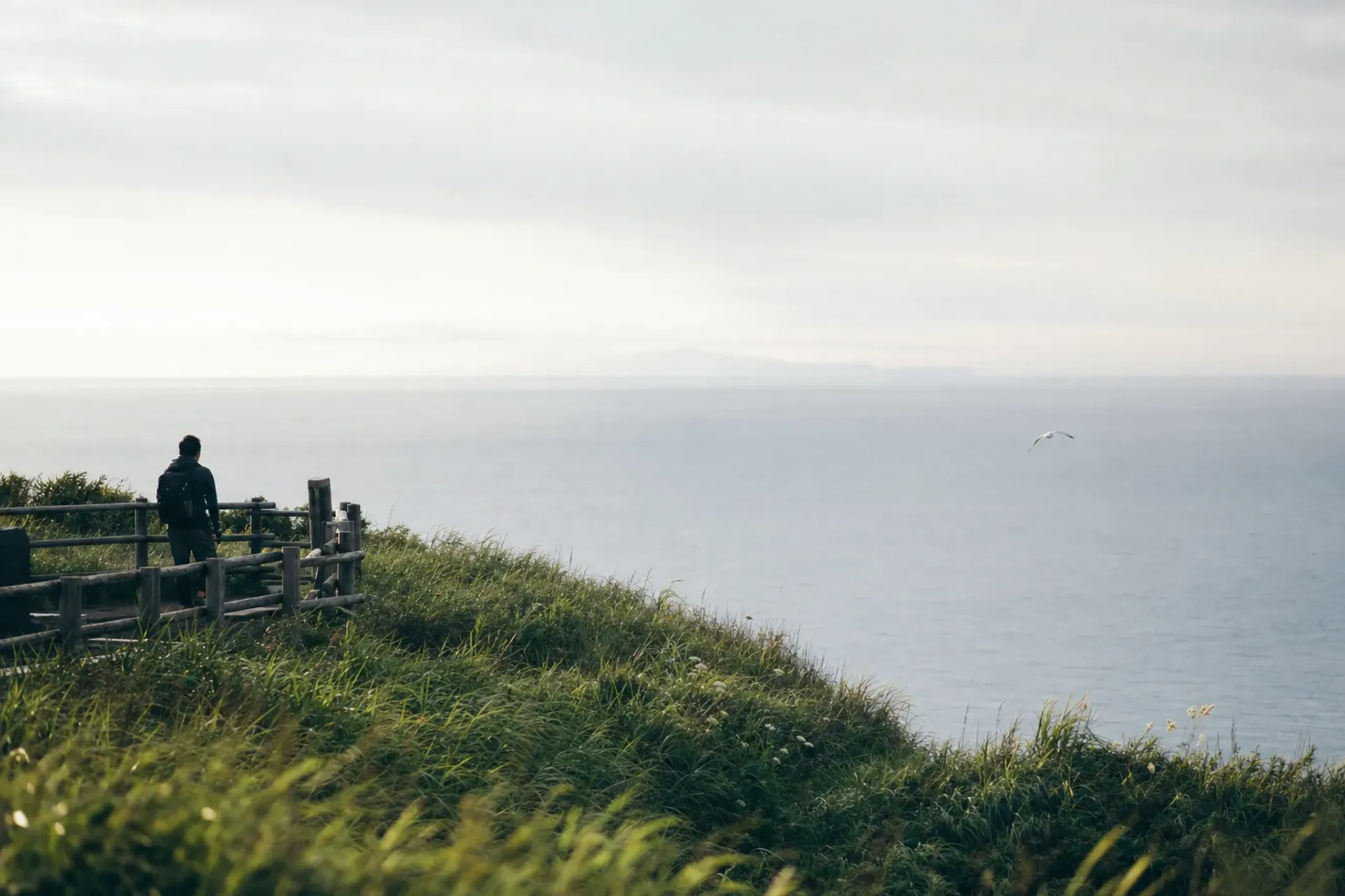
Option A: One Day (Cape, Coast Road, Lake, Town)
This is the single-day version that follows the peninsula’s logic.
- Morning: depart from the Shin-Aomori area toward Cape Tappi, with time for the lighthouse area and viewpoints
- Midday: follow the Ryupo Line section of Route 339 (conditions permitting)
- Afternoon: Lake Jusan and the Tosaminato story
- Late afternoon: Kanagi (Shayokan) or Goshogawara (Tachineputa no Yakata), based on interests and opening status
This day works best when you keep meals simple and allow the weather to set the tempo.
Option B: Two Days (North Tip One Day, West Coast And Towns The Next)
Two days lets you stop forcing transitions.
- Day 1: Cape Tappi + stairway road + Ryupo Line + Tappikan, with a weather buffer
- Day 2: Lake Jusan + Tosaminato ruins + Kanagi Shayokan + Goshogawara Tachineputa elements, with room for a slower lunch
It also gives you more flexibility if the cape is under fog for a stretch of the day.
Getting To Tsugaru: Shin-Aomori As The Practical Rail Gateway
Shin-Aomori Station is the practical rail gateway for this part of Aomori, served by the Tohoku and Hokkaido Shinkansen lines.
From there, the peninsula quickly becomes a road trip. Not a rail trip. That is the honest shape of it.
For guests who prefer not to drive themselves, our team can map the day around a vehicle from a partner company with an English-speaking driver. Driver and guide are separate roles.
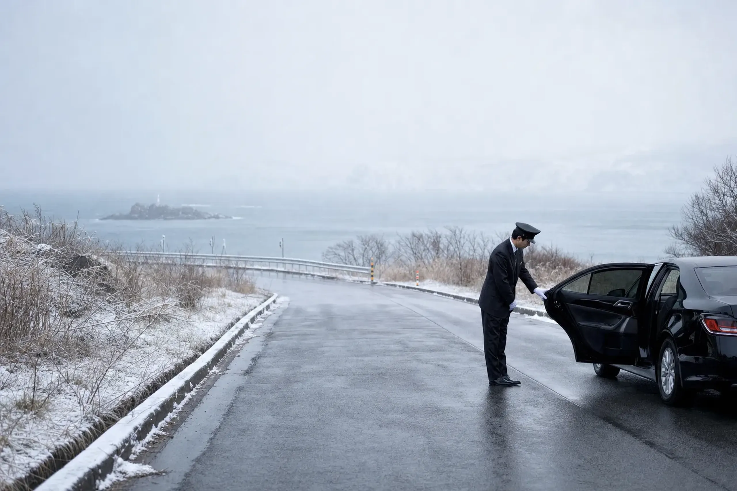
When you read about private transportation on our site, this is the kind of setting we mean: long distances, thin local connections, and a day that needs calm timing more than speed.
How The Concierge Team Plans A Tsugaru Peninsula Day When Weather Shifts
We plan the Tsugaru Peninsula day around fog, sea wind, and long driving legs, then we keep a fallback plan ready if the cape is under cloud.
That fallback is not complicated. It is simply realistic: more time at Tappikan, a longer Lake Jusan and Tosaminato stop, or shifting Kanagi and Goshogawara earlier so the day still has shape.
For guests who want context that goes beyond signage, we can include an English-speaking cultural interpreter guide (booked separately from the driver) for Kanagi, the Dazai Osamu house, the Tosaminato story, and the Tachineputa floats.
For rail arrivals, our support can include Shinkansen tickets to Shin-Aomori, including Green Car and Gran Class where available, platform assistance, and luggage forwarding. Timing and service details vary by train and season; the JRS concierge team confirms directly with the guest at time of arrangement.
If you are also thinking about a broader route through the region, a tailor-made itinerary can place Tsugaru as a north-coast chapter rather than a detour.
Small Extensions (One Line Each): Hirosaki, Shirakami-Sanchi, And Osorezan
Hirosaki: If your summer timing aligns with festival season, see our guides to Hirosaki Neputa and Aomori Nebuta for planning context.
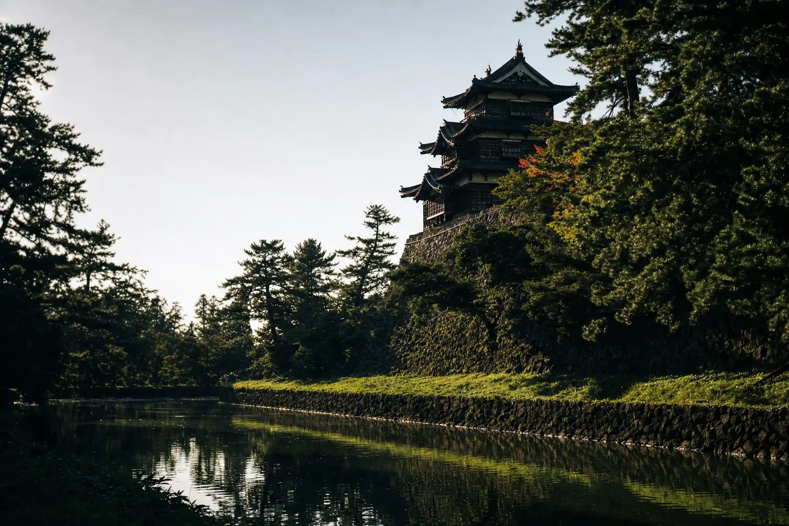
Shirakami-Sanchi: For beech forests and a different kind of quiet, start with Shirakami-Sanchi in Summer.
Osorezan: For the Shimokita Peninsula’s sacred landscape, see Osorezan: Aomori’s Sacred Mountain Guide.
Frequently Asked Questions
How Do You Reach Cape Tappi From Shin-Aomori Without Rushing The Day?
You typically reach Cape Tappi from the Shin-Aomori area by car, then build the day with generous buffers for fog, viewpoints, and the long coastal drive.
Official tourism guidance provides example driving anchors, and the JRS concierge team confirms directly with the guest at time of arrangement what timing fits the chosen stops.
What Is The “Stairway National Road” At Cape Tappi?
It is a pedestrian-only stretch of National Route 339 with 362 steps and a length of 388.2 meters, connecting Tappi fishing port and the lighthouse area.
Aomori’s tourism information describes it as Japan’s only stairway national road, and it is closed in winter.
Can You See Hokkaido From Cape Tappi In Summer?
Hokkaido may be visible from Cape Tappi in clear conditions, but it is never guaranteed because sea fog and haze can erase the view.
If the horizon disappears, the cape still works as a stop for the lighthouse, monuments, and the feeling of standing at the strait.
When Is The Ryupo Line (Route 339) Open?
The Ryupo Line section of Route 339 is open in the warm season and closed in winter, with reopening set each year.
Because exact conditions can change, the JRS concierge team confirms directly with the guest at time of arrangement.
What Is The Typical August Weather Like In Aomori For Planning This Drive?
JMA normals for Aomori City list an August mean of 23.5°C, with a mean maximum of 27.8°C, a mean minimum of 20.0°C, and 142.0 mm of rainfall.
Aomori City is on Mutsu Bay, so the cape and west coast can feel cooler or foggier at times.
Why Choose Japan Royal Service
Tsugaru rewards travelers who value pace and precision.
Our role at Japan Royal Service is to turn a scattered set of public places into a single coherent day: the cape when the light is workable, the coast road when conditions are clear, the lake when you want quiet, and the towns when you want story.
We do that with practical building blocks—an English-speaking cultural interpreter guide booked separately from the driver, a vehicle from a partner company with an English-speaking driver, and a plan that can be reshaped the same day if fog changes the order.
For meals and stays in the Aomori, Hirosaki, or Tsugaru area, our concierge team can place bookings and pass dietary needs ahead, aligned with the pace of the route. The JRS concierge team confirms directly with the guest at time of arrangement the road status, museum and information-house opening, and festival dates.
To begin planning, contact our team here.